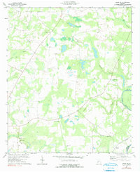
1973 Map of Leslie SE
USGS Topo · Published 1991About this map
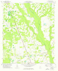
The Flint River defines the eastern boundary of this landscape, separating Lee and Worth counties as it flows south toward the community of Philema. This early 1970s survey illustrates a region shaped by its hydrology, where numerous tributaries like Hawkins Branch and Starr Branch carve through the coastal plain. The interior is dotted with localized nodes of community life, anchored by rural congregations such as St Mathews Ch, New Pine Grove Ch, and Phillips Grove Ch. These church sites and nearby cemeteries provide a valuable geographic record for family historians tracking roots in the Tarpley and Mossy Dell vicinities. Evidence of changing transportation and land use appears along the southern edge, where an abandoned roadbed indicates a shift in the local network of country lanes and improved surfaces.
Find a feature on this map
18 named features on this map. Tap any name to fly to it.
Don’t see what you’re looking for? This feature index may not catch every label — zoom into the map to look around manually.
Map Details
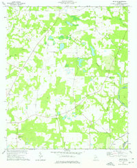
Editions of this 1973 Leslie SE Map
2 editions found
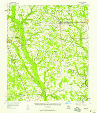
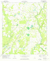
Other maps of this area

1953 · Dothan
USGS Topo · 1:250,000

1953 · Waycross
USGS Topo · 1:250,000

1954 · Dothan
USGS Topo · 1:250,000

1955 · Dothan
USGS Topo · 1:250,000

1956 · Sylvester
USGS Topo · 1:62,500

1956 · Albany
USGS Topo · 1:62,500
1956 · Leslie
USGS Topo · 1:62,500

1958 · Waycross
USGS Topo · 1:250,000
1973 · Albany NE
USGS Topo · 1:24,000
1973 · Neyami
USGS Topo · 1:24,000