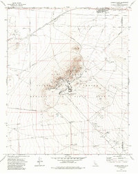
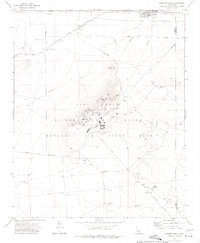
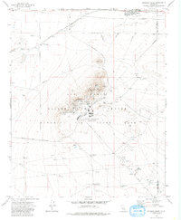
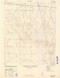
1973 Map of Leuhman Ridge
USGS Topo · Published 1985About this map
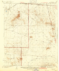
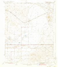
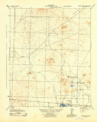
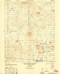
Edwards Air Force Flight Test Center dominates this landscape, reflecting the peak of Cold War aerospace research in the California desert. The prominent volcanic spine of Leuhman Ridge serves as the foundation for the sprawling Rocket Propulsion Laboratory, while a complex network of US Government Railroad lines and utility corridors like Mercury Blvd and Mars Blvd crisscross the arid terrain. To the north, the town of Boron marks the civilian edge of this high-tech military zone, sitting adjacent to the Atchison Topeka and Santa Fe tracks and Mule Team Road. The map documents a sophisticated infrastructure of tracking stations, radio facilities, and targets used for high-altitude testing. Traces of earlier desert history appear in the Old RR Grade and numerous sandpits and borrow pits that suggest the massive earth-moving efforts required to maintain this remote facility.
Find a feature on this map
32 named features on this map. Tap any name to fly to it.
Don’t see what you’re looking for? This feature index may not catch every label — zoom into the map to look around manually.
Map Details
Editions of this 1973 Leuhman Ridge Map
3 editions found
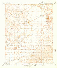
Other maps of this area

1915 · Searles Lake
USGS Topo · 1:250,000

1937 · Kramer
USGS Topo · 1:48,000
1937 · Rogers Lake
USGS Topo · 1:48,000
1942 · Kramer
USGS Topo · 1:62,500
1942 · Rogers Lake
USGS Topo · 1:62,500
1943 · Castle Butte
USGS Topo · 1:62,500
1947 · Castle Butte
USGS Topo · 1:50,000
1947 · Kramer
USGS Topo · 1:24,000
1947 · Johannesburg SE
USGS Topo · 1:25,000
1947 · Rich
USGS Topo · 1:24,000