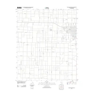
2012 Map of Levelland West
USGS Topo · Published 2012About this map
Lobo Lake sits at the eastern edge of this High Plains landscape, where the residential grid of West Texas begins to give way to an expansive network of rural roads. The area is defined by a strictly organized system of section-line roads, including Five Mile Rd and Kelly Rd, which facilitate the region's agricultural and resource-extraction economy. The transition from the more densely settled streets like Wilson St and Lincoln St to the open land illustrates the planned growth of this Hockley County community. Along the northern corridors, names like America Rd and Arizona Rd mark the long stretches of prairie, while Gusher Rd hints at the underlying energy industry that has long sustained the local economy. The primary east-west artery, W State Road 114, serves as the connective tissue between the town center and the surrounding rural infrastructure.
Find a feature on this map
71 named features on this map. Tap any name to fly to it.
Don’t see what you’re looking for? This feature index may not catch every label — zoom into the map to look around manually.
Map Details
Editions of this 2012 Levelland West Map
This is the sole edition of this map. No revisions or reprints were ever made.
Other maps of this area

1954 · Brownfield
USGS Topo · 1:250,000

1958 · Brownfield
USGS Topo · 1:250,000

1962 · Brownfield
USGS Topo · 1:250,000

1964 · Whitharral
USGS Topo · 1:24,000

1965 · Levelland West
USGS Topo · 1:24,000

1965 · Sundown
USGS Topo · 1:24,000

1965 · Levelland East
USGS Topo · 1:24,000

1965 · Plains 1 NE
USGS Topo · 1:24,000

1965 · Hester Ranch
USGS Topo · 1:24,000

1965 · Pettit
USGS Topo · 1:24,000