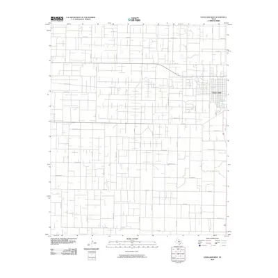
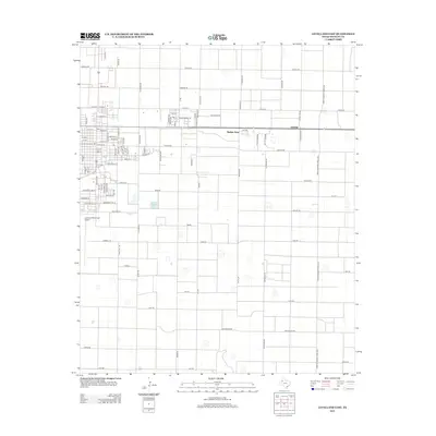
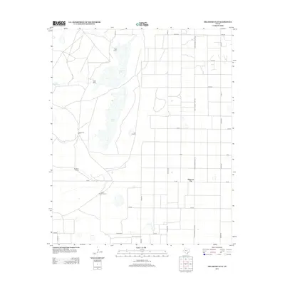
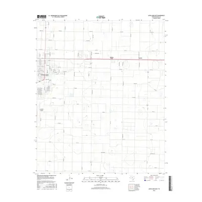
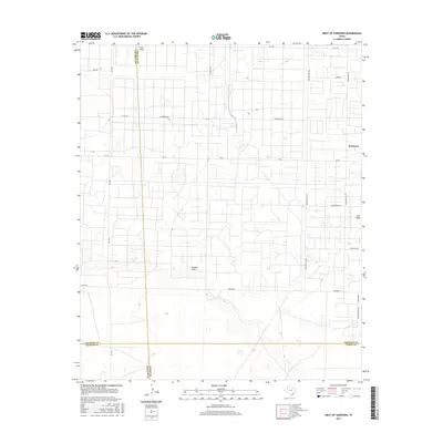
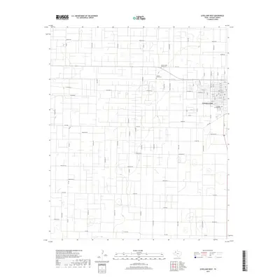
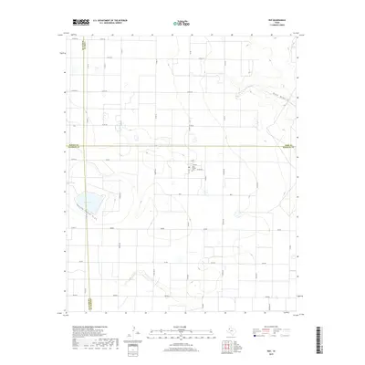
1965 Map of Levelland West
USGS Topo · Published 1966About this map
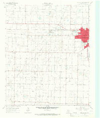
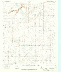
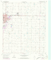
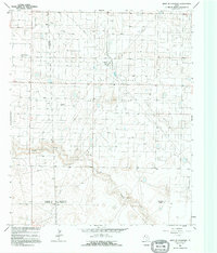
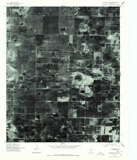
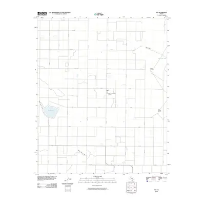
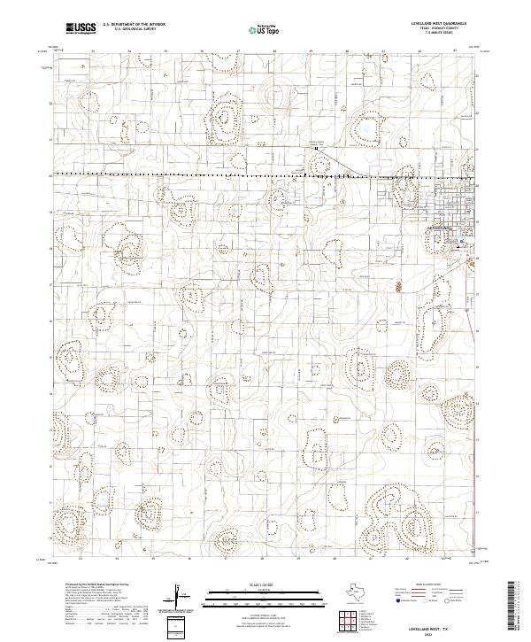
The Slaughter and Levelland Oil Field dominates the landscape of the High Plains in this mid-century survey, with an extensive network of wells and a Pipeline stretching across the western terrain. The city of Levelland occupies the eastern edge of the sheet, revealing a growing urban grid focused around the Atchison Topeka and Santa Fe railroad line. Industrial activity is concentrated near the tracks, evidenced by a Refinery and proximity to the Municipal Airfield.
Find a feature on this map
19 named features on this map. Tap any name to fly to it.
Don’t see what you’re looking for? This feature index may not catch every label — zoom into the map to look around manually.
Map Details
Editions of this 1965 Levelland West Map
This is the sole edition of this map. No revisions or reprints were ever made.
Historical Maps of Levelland Through Time
64 maps found
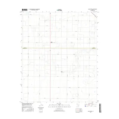
1964 Lums Chapel
Hockley County, TX
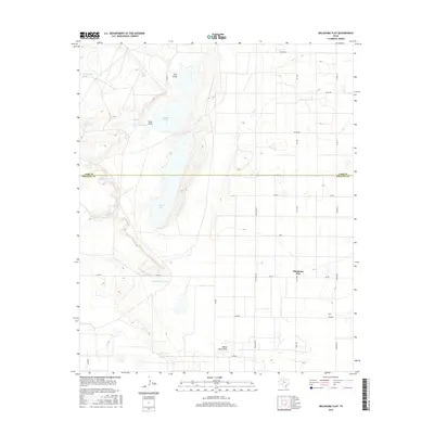
1964 Oklahoma Flat
Hockley County, TX
1964 Pep
Hockley County, TX
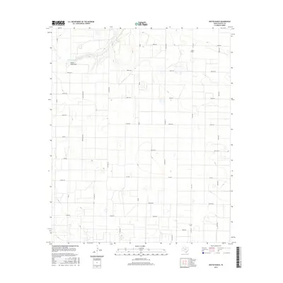
1965 Hester Ranch
Hockley County, TX
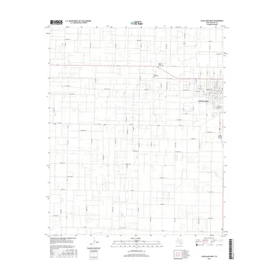
1965 Levelland East
Hockley County, TX
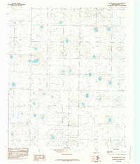
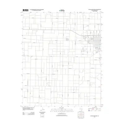
1965 Levelland West
Hockley County, TX
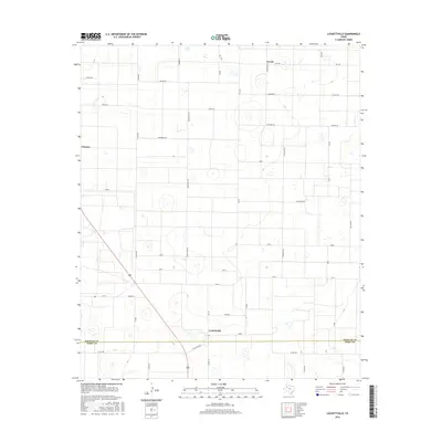
1965 Lockettville
Hockley County, TX
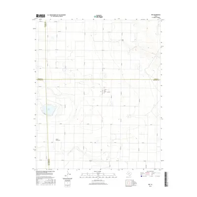
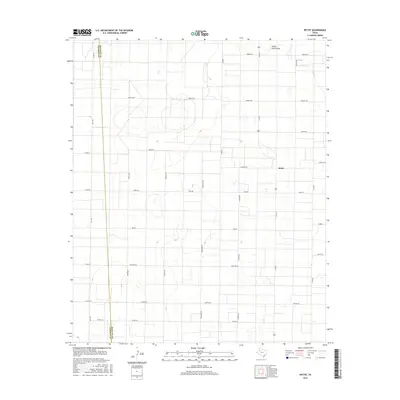
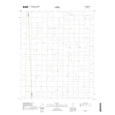
1965 Pettit
Hockley County, TX
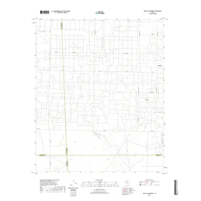
1965 West of Sundown
Hockley County, TX
1976 Anton SW
Hockley County, TX
1976 Meadow NW
Hockley County, TX
1976 Wolfforth NW
Hockley County, TX
1976 Wolfforth SW
Hockley County, TX
1985 Wolfforth NW
Hockley County, TX
2010 Hester Ranch
Hockley County, TX
2010 Levelland East
Hockley County, TX
2010 Levelland West
Hockley County, TX
2010 Lockettville
Hockley County, TX
2010 Lums Chapel
Hockley County, TX
2010 Oklahoma Flat
Hockley County, TX
2010 Pep
Hockley County, TX
2010 Pettit
Hockley County, TX
2010 West of Sundown
Hockley County, TX
2010 Wolfforth NW
Hockley County, TX

2012 Hester Ranch
Hockley County, TX
2012 Levelland East
Hockley County, TX
2012 Levelland West
Hockley County, TX
2012 Lockettville
Hockley County, TX
2012 Lums Chapel
Hockley County, TX
2012 Oklahoma Flat
Hockley County, TX

2012 Pep
Hockley County, TX
2012 Pettit
Hockley County, TX
2012 West of Sundown
Hockley County, TX
2012 Wolfforth NW
Hockley County, TX
2016 Hester Ranch
Hockley County, TX
2016 Levelland East
Hockley County, TX
2016 Levelland West
Hockley County, TX
2016 Lockettville
Hockley County, TX
2016 Lums Chapel
Hockley County, TX
2016 Oklahoma Flat
Hockley County, TX
2016 Pep
Hockley County, TX
2016 Pettit
Hockley County, TX
2016 West of Sundown
Hockley County, TX
2016 Wolfforth NW
Hockley County, TX
2019 Hester Ranch
Hockley County, TX
2019 Levelland East
Hockley County, TX
2019 Levelland West
Hockley County, TX
2019 Lockettville
Hockley County, TX
2019 Lums Chapel
Hockley County, TX
2019 Oklahoma Flat
Hockley County, TX
2019 Pep
Hockley County, TX
2019 Pettit
Hockley County, TX
2019 West of Sundown
Hockley County, TX
2019 Wolfforth NW
Hockley County, TX
2022 Hester Ranch
Hockley County, TX
2022 Levelland East
Hockley County, TX
2022 Levelland West
Hockley County, TX
2022 Lockettville
Hockley County, TX
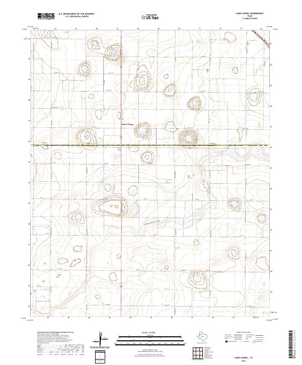
2022 Lums Chapel
Hockley County, TX
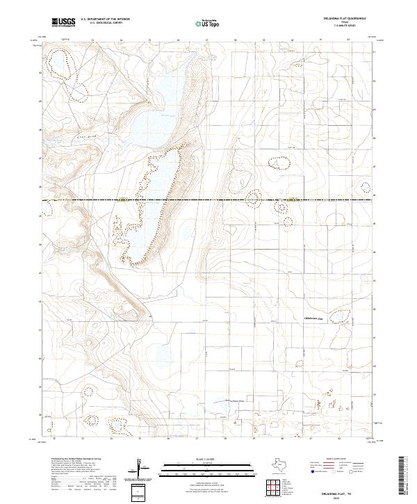
2022 Oklahoma Flat
Hockley County, TX
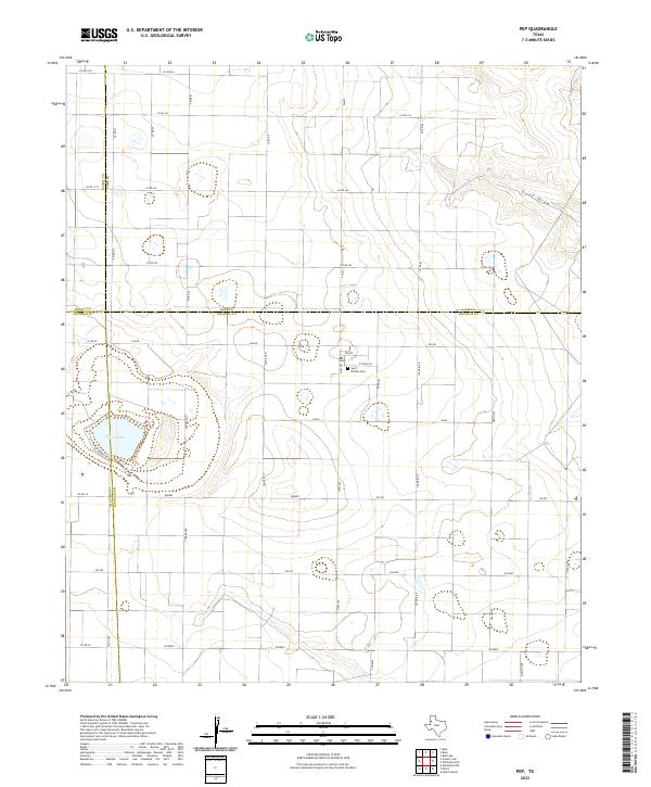
2022 Pep
Hockley County, TX
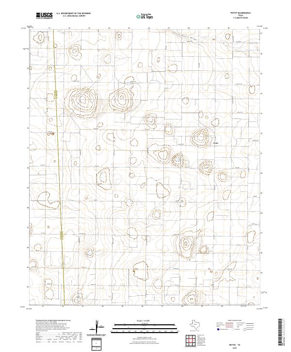
2022 Pettit
Hockley County, TX
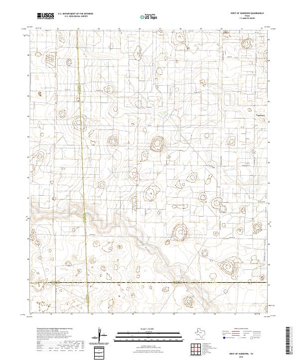
2022 West of Sundown
Hockley County, TX
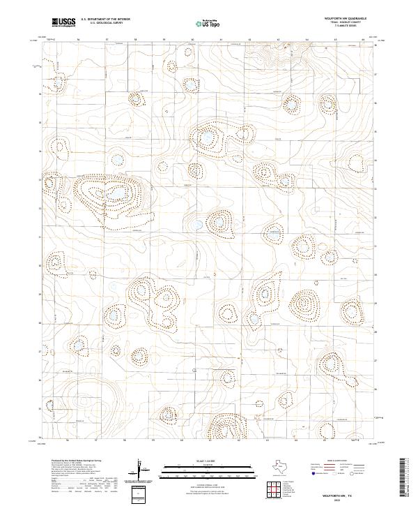
2022 Wolfforth NW
Hockley County, TX