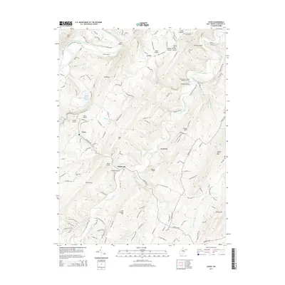
2014 Map of Levels
USGS Topo · Published 2014About this map
Levels and Points serve as central nodes for this Hampshire County landscape, where the terrain is defined by a dense series of ridges and hollows carved by the Little Cacapon River. In the early 21st century, the area remains a mix of agricultural heritage and recreation, as seen at Ferndale Farms Recreation Lake and numerous family farms like Foxwalk Farm Rd. The map illustrates a high degree of continuity in local history, with small settlements like Higginsville and Creekvale anchored by community landmarks. Genealogists will find particular value in the documentation of the Church of the Brethren Cem and the Little Cacapon Primitive Baptist Church Cem, which sit atop the rolling uplands of Bird Ridge and Queens Ridge. The northern boundary is marked by the winding course of the South Branch Potomac River, providing a natural divide against the rising elevations of River Mtn.
Find a feature on this map
139 named features on this map. Tap any name to fly to it.
Don’t see what you’re looking for? This feature index may not catch every label — zoom into the map to look around manually.
Map Details
Editions of this 2014 Levels Map
This is the sole edition of this map. No revisions or reprints were ever made.
Other maps of this area

1891 · Romney
USGS Topo · 1:125,000

1894 · Winchester
USGS Topo · 1:125,000

1898 · Paw Paw
USGS Topo · 1:62,500

1899 · Flintstone
USGS Topo · 1:62,500

1900 · Pawpaw
USGS Topo · 1:62,500

1900 · Flintstone
USGS Topo · 1:62,500

1910 · Paw Paw
USGS Topo · 1:62,500

1916 · Capon Bridge
USGS Topo · 1:62,500

1921 · Hanging Rock
USGS Topo · 1:48,000

1923 · Capon Bridge
USGS Topo · 1:62,500