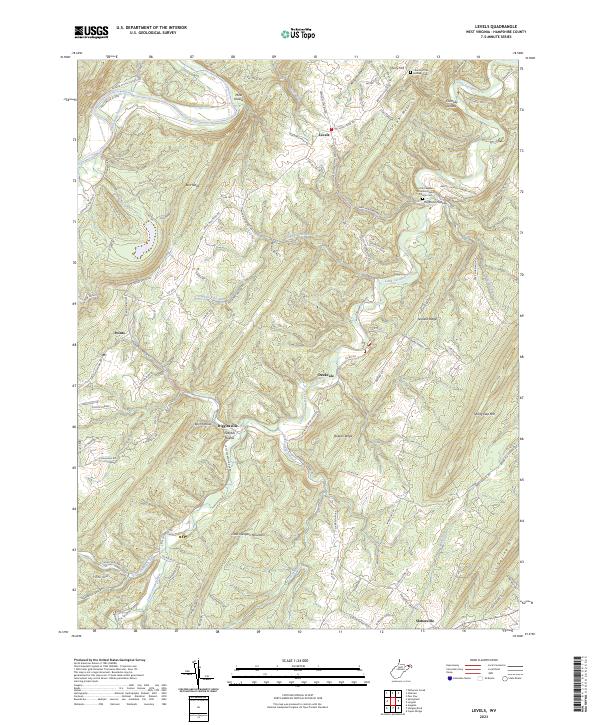
2023 Map of Levels
USGS Topo · Published 2023About this map
The Little Cacapon River carves a deep path through the ridge-and-valley landscape of Hampshire County, anchoring a series of small, remote settlements. From the northern bend of the South Branch Potomac River, the terrain rises toward Levels and Town Hill, where the Church of the Brethren Cem serves as a reminder of the area's long-standing rural community. These high ridges, including Sideling Hill and Spring Gap Mtn, have dictated the movement of travel along routes like the Springfield Grade Rd, which connects the upland plateaus to the narrow valley floors.
Find a feature on this map
41 named features on this map. Tap any name to fly to it.
Don’t see what you’re looking for? This feature index may not catch every label — zoom into the map to look around manually.
Map Details
Editions of this 2023 Levels Map
This is the sole edition of this map. No revisions or reprints were ever made.
Other maps of this area

1891 · Romney
USGS Topo · 1:125,000

1894 · Winchester
USGS Topo · 1:125,000

1898 · Paw Paw
USGS Topo · 1:62,500

1899 · Flintstone
USGS Topo · 1:62,500

1900 · Pawpaw
USGS Topo · 1:62,500

1900 · Flintstone
USGS Topo · 1:62,500

1910 · Paw Paw
USGS Topo · 1:62,500

1916 · Capon Bridge
USGS Topo · 1:62,500

1921 · Hanging Rock
USGS Topo · 1:48,000

1923 · Capon Bridge
USGS Topo · 1:62,500