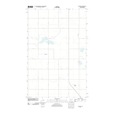
2011 Map of Leverich
USGS Topo · Published 2011About this map
Leverich sits at the heart of this Pierce County landscape, defined by the precise sectional grid of the North Dakota prairie. The map reveals a rural geography where township roads like 74th St NE and 26th Ave NE intersect to form the skeletal structure of the region's agricultural economy. This 2011 survey captures the area before significant modern shifts, maintaining a clear view of the drainage patterns and small prairie potholes that dot the terrain between cultivated fields. In the southeastern corner, the Rugby Municipal Airport serves as a modern focal point, its runways cutting diagonally across the established north-south alignment of roads like 30th Ave NE and 29th Ave NE. The map is an essential record of land use and transportation during the early 21st century in this portion of the northern plains.
Find a feature on this map
15 named features on this map. Tap any name to fly to it.
Don’t see what you’re looking for? This feature index may not catch every label — zoom into the map to look around manually.
Map Details
Editions of this 2011 Leverich Map
This is the sole edition of this map. No revisions or reprints were ever made.
Other maps of this area

1953 · Devils Lake
USGS Topo · 1:250,000

1954 · Tunbridge
USGS Topo · 1:24,000

1954 · Overly SE
USGS Topo · 1:24,000

1954 · Barton
USGS Topo · 1:24,000

1954 · Berwick
USGS Topo · 1:24,000

1954 · Round Lake
USGS Topo · 1:24,000

1954 · Rugby NW
USGS Topo · 1:24,000

1954 · Leverich
USGS Topo · 1:24,000

1954 · Minot
USGS Topo · 1:250,000

1955 · Rugby
USGS Topo · 1:24,000