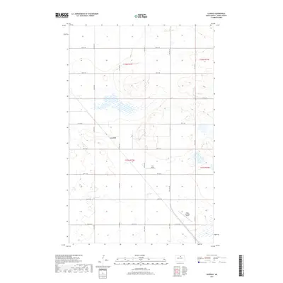
2017 Map of Leverich
USGS Topo · Published 2017About this map
The small community of Leverich anchors this section of Pierce County, situated amidst a landscape of seasonal wetlands and prairie depressions characteristic of central North Dakota. While the settlement itself is sparse, the map documents the organized grid of the Public Land Survey System, including 74th St NE and 30th Ave NE, which divide the terrain into township and range blocks such as t157n r73w. Aviation infrastructure is a notable component of the local landscape, with the Rugby Municipal Airport occupying the southeastern corner and the private Paul Airstrip located further west. These features, along with the numerous unnamed ponds and drainage patterns, illustrate a rural economy defined by wide-open spaces and a reliance on decentralized transportation networks.
Find a feature on this map
20 named features on this map. Tap any name to fly to it.
Don’t see what you’re looking for? This feature index may not catch every label — zoom into the map to look around manually.
Map Details
Editions of this 2017 Leverich Map
This is the sole edition of this map. No revisions or reprints were ever made.
Other maps of this area

1953 · Devils Lake
USGS Topo · 1:250,000

1954 · Tunbridge
USGS Topo · 1:24,000

1954 · Overly SE
USGS Topo · 1:24,000

1954 · Barton
USGS Topo · 1:24,000

1954 · Berwick
USGS Topo · 1:24,000

1954 · Round Lake
USGS Topo · 1:24,000

1954 · Rugby NW
USGS Topo · 1:24,000

1954 · Leverich
USGS Topo · 1:24,000

1954 · Minot
USGS Topo · 1:250,000

1955 · Rugby
USGS Topo · 1:24,000