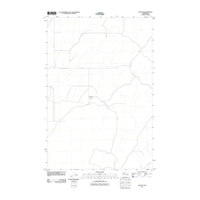
2011 Map of Levey NE
USGS Topo · Published 2011About this map
Rye Grass Flat dominates the central landscape of this Franklin County quadrangle, situated in an area of the Columbia Basin defined by dry gulches and expansive plateau terrain. The 2011 survey reveals a sparsely populated agricultural and ranching district where the road network provides the primary evidence of land use and property boundaries. Routes such as Snake River Rd, Rybzinski Rd, and Haverland Koontz Rd traverse the upland areas, connecting remote homesteads and fields. The topography is shaped by intermittent drainages that cut through the basaltic landscape, typical of the region's geography north of the Snake River. Other localized thoroughfares including Gertler Rd and Hockett Ln trace the section lines, illustrating the systematic rural development and modern transportation patterns of this high desert environment.
Find a feature on this map
7 named features on this map. Tap any name to fly to it.
Don’t see what you’re looking for? This feature index may not catch every label — zoom into the map to look around manually.
Map Details
Editions of this 2011 Levey NE Map
This is the sole edition of this map. No revisions or reprints were ever made.
Other maps of this area

1915 · Wallulah
USGS Topo · 1:96,000

1916 · Connell
USGS Topo · 1:125,000

1918 · Connell
USGS Topo · 1:125,000

1918 · Wallula
USGS Topo · 1:125,000

1953 · Walla Walla
USGS Topo · 1:250,000

1958 · Walla Walla
USGS Topo · 1:250,000

1963 · Rye Grass Coulee
USGS Topo · 1:24,000

1964 · Levey SW
USGS Topo · 1:24,000

1964 · Levey SE
USGS Topo · 1:24,000

1964 · Levey NE
USGS Topo · 1:24,000