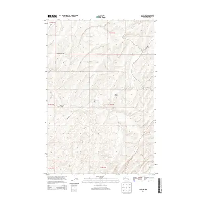
2013 Map of Levey NE
USGS Topo · Published 2013About this map
Rye Grass Coulee and McCoy Canyon carve through this section of Franklin County, defining a landscape of agricultural plateaus and drainage systems. This 2013 survey reveals the persistent imprint of the Public Land Survey System, with township and range lines like t11n r32e guiding the rectilinear road network across the undulating terrain. The central Rye Grass Flat serves as a focal point for the surrounding rural infrastructure, where local routes such as Rybzinski Rd and Gertler Rd intersect to connect the scattered farmsteads. The lack of concentrated urban development highlights the area's continued reliance on large-scale land use and local access roads like Haverland Koontz Rd, which navigate the elevation changes between the coulee floor and the higher ridges.
Find a feature on this map
15 named features on this map. Tap any name to fly to it.
Don’t see what you’re looking for? This feature index may not catch every label — zoom into the map to look around manually.
Map Details
Editions of this 2013 Levey NE Map
This is the sole edition of this map. No revisions or reprints were ever made.
Other maps of this area

1915 · Wallulah
USGS Topo · 1:96,000

1916 · Connell
USGS Topo · 1:125,000

1918 · Connell
USGS Topo · 1:125,000

1918 · Wallula
USGS Topo · 1:125,000

1953 · Walla Walla
USGS Topo · 1:250,000

1958 · Walla Walla
USGS Topo · 1:250,000

1963 · Rye Grass Coulee
USGS Topo · 1:24,000

1964 · Levey SW
USGS Topo · 1:24,000

1964 · Levey SE
USGS Topo · 1:24,000

1964 · Levey NE
USGS Topo · 1:24,000