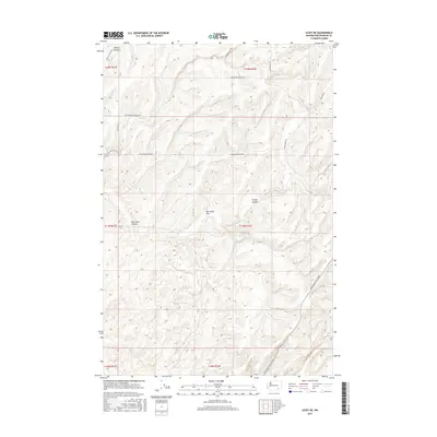
2017 Map of Levey NE
USGS Topo · Published 2017About this map
Rye Grass Flat and its surrounding canyons define this corner of Franklin County, where the high plateau is deeply incised by drainages like Smith Canyon and McCoy Canyon. The landscape is etched with a network of rural routes that follow both the ridgelines and the coulee floors, including Rye Grass Coulee Rd and Haverland Koontz Rd. These roads often trace the boundaries of the Public Land Survey System, as seen in the strictly gridded townships of t11n r32e and t12n r32e. Along the eastern edge, Pasco Kahlotus Road provides the primary transit artery, while secondary paths like Fishhook Elgin Rd and Snake River Rd connect the scattered homesteads and agricultural tracts. The map reveals the intricate topographic relationship between the Rye Grass Coulee drainage system and the flat upland areas used for dryland farming.
Find a feature on this map
20 named features on this map. Tap any name to fly to it.
Don’t see what you’re looking for? This feature index may not catch every label — zoom into the map to look around manually.
Map Details
Editions of this 2017 Levey NE Map
This is the sole edition of this map. No revisions or reprints were ever made.
Other maps of this area

1915 · Wallulah
USGS Topo · 1:96,000

1916 · Connell
USGS Topo · 1:125,000

1918 · Connell
USGS Topo · 1:125,000

1918 · Wallula
USGS Topo · 1:125,000

1953 · Walla Walla
USGS Topo · 1:250,000

1958 · Walla Walla
USGS Topo · 1:250,000

1963 · Rye Grass Coulee
USGS Topo · 1:24,000

1964 · Levey SW
USGS Topo · 1:24,000

1964 · Levey SE
USGS Topo · 1:24,000

1964 · Levey NE
USGS Topo · 1:24,000