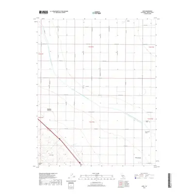
2018 Map of Levis
USGS Topo · Published 2018About this map
The Governor Edmund G Brown California Aqueduct cuts a diagonal path across this section of the San Joaquin Valley, illustrating the massive scale of 21st-century water infrastructure in Fresno County. In this part of the Central Valley, the landscape is defined by a rigid grid of agricultural roads, including W Manning Ave and W Floral Ave, which service the sprawling farmlands. Small rural settlements like Levis and Three Rocks sit at key crossroads, while Panoche Junction serves as a point of interest for local historians studying regional transit patterns. To the southwest, the terrain shifts abruptly from the flat valley floor into the rising elevations of the Ciervo Hills and the distinct geological formation of Monocline Ridge, where the seasonal drainage of Arroyo Ciervo enters the basin.
Find a feature on this map
38 named features on this map. Tap any name to fly to it.
Don’t see what you’re looking for? This feature index may not catch every label — zoom into the map to look around manually.
Map Details
Editions of this 2018 Levis Map
This is the sole edition of this map. No revisions or reprints were ever made.
Other maps of this area

1912 · Coalinga
USGS Topo · 1:125,000

1913 · Panoche
USGS Topo · 1:125,000

1915 · Priest Valley
USGS Topo · 1:125,000

1922 · Tufts Ranch
USGS Topo · 1:31,680

1922 · Chaney Ranch
USGS Topo · 1:31,680

1923 · Levis
USGS Topo · 1:31,680

1923 · Englebrecht Ranch
USGS Topo · 1:31,680

1923 · Monocline Ridge
USGS Topo · 1:31,680

1924 · Tranquillity
USGS Topo · 1:31,680

1931 · Mouth of Cantua Creek
USGS Topo · 1:31,680