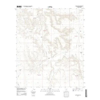
2013 Map of Lewis Canyon
USGS Topo · Published 2013About this map
Lewis Canyon and the surrounding drainage systems define this high-desert landscape in southeastern Otero County. The map details a complex network of topographical features, including Hay Canyon, Willow Canyon, and Boardwell Canyon, which converge into larger systems like Fourmile Draw. Human intervention in this arid environment is most visible through a series of water catchment features, locally known as tanks. Strategic sites such as School Girl Tank, Bluff Tank, and Tanner Tank are plotted across the terrain, serving the essential needs of local ranching operations. The eastern portion of the quadrangle opens into Crow Flats, where the relief softens. A sparse network of unpaved roads, including Lewis Canyon Rd and CO Road G004, provides the only access through this isolated ranchland on the New Mexico-Texas borderlands.
Find a feature on this map
20 named features on this map. Tap any name to fly to it.
Don’t see what you’re looking for? This feature index may not catch every label — zoom into the map to look around manually.
Map Details
Editions of this 2013 Lewis Canyon Map
This is the sole edition of this map. No revisions or reprints were ever made.
Other maps of this area

1954 · Carlsbad
USGS Topo · 1:250,000

1958 · Carlsbad
USGS Topo · 1:250,000

1963 · Hackberry Hill
USGS Topo · 1:24,000
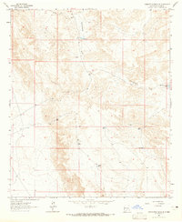
1963 · Cornucopia Ranch SE
USGS Topo · 1:24,000

1963 · Gowdy Ranch
USGS Topo · 1:24,000

1969 · Lewis Canyon
USGS Topo · 1:24,000
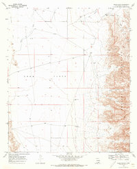
1969 · Sheep Draw
USGS Topo · 1:24,000
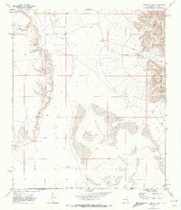
1969 · Cienega School
USGS Topo · 1:24,000
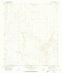
1969 · Culp Draw
USGS Topo · 1:24,000
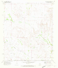
1970 · Shiloh Hills SE
USGS Topo · 1:24,000