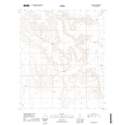
2020 Map of Lewis Canyon
USGS Topo · Published 2020About this map
Lewis Canyon and the expansive Crow Flats define this high-altitude landscape in Otero County. The geography is marked by a series of dramatic drainages, including Boardwell Canyon, Willow Canyon, and Hay Canyon, which transition into the lower reaches of Cornucopia Draw and Fourmile Draw. The arid nature of the region is evident in the man-made water catchments that dot the terrain, such as School Girl Tank, Tanner Tank, and Bluff Tank, which are critical infrastructure for land management in this section of New Mexico.
Find a feature on this map
21 named features on this map. Tap any name to fly to it.
Don’t see what you’re looking for? This feature index may not catch every label — zoom into the map to look around manually.
Map Details
Editions of this 2020 Lewis Canyon Map
This is the sole edition of this map. No revisions or reprints were ever made.
Other maps of this area

1954 · Carlsbad
USGS Topo · 1:250,000

1958 · Carlsbad
USGS Topo · 1:250,000

1963 · Hackberry Hill
USGS Topo · 1:24,000
1963 · Cornucopia Ranch SE
USGS Topo · 1:24,000

1963 · Gowdy Ranch
USGS Topo · 1:24,000

1969 · Lewis Canyon
USGS Topo · 1:24,000
1969 · Sheep Draw
USGS Topo · 1:24,000
1969 · Cienega School
USGS Topo · 1:24,000
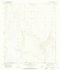
1969 · Culp Draw
USGS Topo · 1:24,000
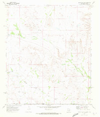
1970 · Shiloh Hills SE
USGS Topo · 1:24,000