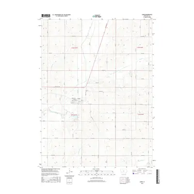
2015 Map of Lewis
USGS Topo · Published 2015About this map
The town of Lewis serves as a focal point along the western edge of Cass County, positioned near the winding path of the East Nishnabotna River. This settlement, established in the nineteenth century as a former county seat, retains a grid of residential and commercial streets such as W Main St and Oregon St. To the northeast, the Oakwood Cem stands on higher ground, while the Cold Springs area south of town indicates the natural water sources that influenced early location choices. The surrounding landscape is defined by an intricate network of waterways, including Spring Cr, Turkey Cr, and Bear Br, which carve through the agricultural uplands. These creek valleys dictate the layout of rural routes like White Pole Rd, a historic thoroughfare that predates modern highway systems.
Find a feature on this map
49 named features on this map. Tap any name to fly to it.
Don’t see what you’re looking for? This feature index may not catch every label — zoom into the map to look around manually.
Map Details
Editions of this 2015 Lewis Map
This is the sole edition of this map. No revisions or reprints were ever made.
Other maps of this area

1954 · Omaha
USGS Topo · 1:250,000

1957 · Omaha
USGS Topo · 1:250,000

1958 · Omaha
USGS Topo · 1:250,000

1971 · Walnut
USGS Topo · 1:24,000

1971 · Wiota
USGS Topo · 1:24,000

1971 · Atlantic
USGS Topo · 1:24,000

1971 · Atlantic SW
USGS Topo · 1:24,000

1971 · Anita SW
USGS Topo · 1:24,000

1971 · Lewis
USGS Topo · 1:24,000

1978 · Griswold
USGS Topo · 1:24,000