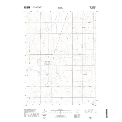
2018 Map of Lewis
USGS Topo · Published 2018About this map
Lewis serves as the central hub of this Cass County landscape, situated where Nishna Valley Rd and White Pole Rd converge near the winding path of the East Nishnabotna River. The town's grid is clearly defined by streets such as Minnesota St, Nebraska St, and Oregon St, reflecting a structured Midwestern settlement pattern. North of the town center lies Oakwood Cem, while the surrounding countryside is defined by a dense network of sectional roads and watercourses.
Find a feature on this map
52 named features on this map. Tap any name to fly to it.
Don’t see what you’re looking for? This feature index may not catch every label — zoom into the map to look around manually.
Map Details
Editions of this 2018 Lewis Map
This is the sole edition of this map. No revisions or reprints were ever made.
Other maps of this area

1954 · Omaha
USGS Topo · 1:250,000

1957 · Omaha
USGS Topo · 1:250,000

1958 · Omaha
USGS Topo · 1:250,000

1971 · Walnut
USGS Topo · 1:24,000

1971 · Wiota
USGS Topo · 1:24,000

1971 · Atlantic
USGS Topo · 1:24,000

1971 · Atlantic SW
USGS Topo · 1:24,000

1971 · Anita SW
USGS Topo · 1:24,000

1971 · Lewis
USGS Topo · 1:24,000

1978 · Griswold
USGS Topo · 1:24,000