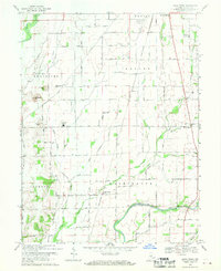
1968 Map of Lewis Creek
USGS Topo · Published 1970About this map
Flatrock River and the Big Blue River define the northern and southern reaches of this central Indiana landscape, which reflects a late-1960s snapshot of rural Shelby County. The drainage network is particularly dense here, where Slash Creek and the various forks of Lewis Creek cut through the farmland. The settlement pattern is characterized by small rural nodes like Smithland, Fenns, and Wilson Corner, connected by a grid of county roads and the Penn Central rail line. Genealogists will find several family-named burial grounds across the townships, including Miller Cem and Tindall Cem. The presence of the County Home near the Township Sch indicates the local social infrastructure of the mid-twentieth century, while the prominent McFarren Hill and McCrea Hill stand as distinct markers in an otherwise level agricultural region.
Find a feature on this map
32 named features on this map. Tap any name to fly to it.
Don’t see what you’re looking for? This feature index may not catch every label — zoom into the map to look around manually.
Map Details
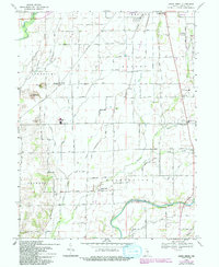
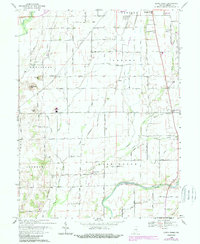
Editions of this 1968 Lewis Creek Map
3 editions found
Other maps of this area

1942 · Columbus
USGS Topo · 1:125,000

1947 · Hope
USGS Topo · 1:24,000

1948 · Edinburg
USGS Topo · 1:24,000

1948 · Hope
USGS Topo · 1:24,000

1948 · Lewis Creek
USGS Topo · 1:24,000

1948 · Marietta
USGS Topo · 1:24,000

1950 · Edinburg
USGS Topo · 1:62,500

1953 · Shelbyville
USGS Topo · 1:24,000

1953 · Boggstown
USGS Topo · 1:24,000

1953 · Cincinnati
USGS Topo · 1:250,000