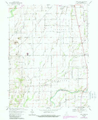
1968 Map of Lewis Creek
USGS Topo · Published 1993About this map
Lewis Creek and the Flatrock River define the agricultural landscape of south-central Indiana as it appeared in the late 1960s. The area is characterized by a high density of small family and community burial grounds, including Tindall Cem, Miller Cem, and Parrish Cem, which offer significant value for genealogical research. Small crossroads settlements like Smithland, Fenns, and Wilson Corner are linked by a grid of rural roads, such as South Rd, while an Old Railroad Grade indicates the shifting transportation patterns of the mid-20th century.
Find a feature on this map
32 named features on this map. Tap any name to fly to it.
Don’t see what you’re looking for? This feature index may not catch every label — zoom into the map to look around manually.
Map Details
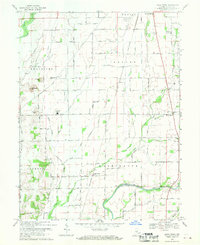
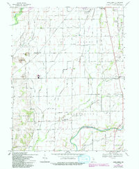
Editions of this 1968 Lewis Creek Map
3 editions found
Other maps of this area

1942 · Columbus
USGS Topo · 1:125,000

1947 · Hope
USGS Topo · 1:24,000

1948 · Edinburg
USGS Topo · 1:24,000

1948 · Hope
USGS Topo · 1:24,000

1948 · Lewis Creek
USGS Topo · 1:24,000

1948 · Marietta
USGS Topo · 1:24,000

1950 · Edinburg
USGS Topo · 1:62,500

1953 · Shelbyville
USGS Topo · 1:24,000

1953 · Boggstown
USGS Topo · 1:24,000

1953 · Cincinnati
USGS Topo · 1:250,000