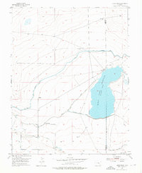
1955 Map of Lewis Ranch
USGS Topo · Published 1976About this map
Agricultural water management and ranching operations dominate this mid-century landscape along the border of Otero and Bent counties. The vast Horse Creek Reservoir (Timber Lake) serves as a central hub for a complex irrigation network designed to sustain the High Plains ranching economy. This infrastructure is evidenced by the massive Fort Lyon Storage Canal, numerous levee structures, and a network of watercourses including the Lewis Lateral and the Horse Creek Res Inlet Ditch.
Find a feature on this map
14 named features on this map. Tap any name to fly to it.
Don’t see what you’re looking for? This feature index may not catch every label — zoom into the map to look around manually.
Map Details
Editions of this 1955 Lewis Ranch Map
2 editions found
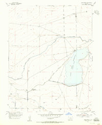
Other maps of this area

1891 · Catlin
USGS Topo · 1:125,000

1891 · Las Animas
USGS Topo · 1:125,000

1893 · Las Animas
USGS Topo · 1:125,000

1893 · Catlin
USGS Topo · 1:125,000

1953 · Cheraw
USGS Topo · 1:24,000

1953 · Cornelia
USGS Topo · 1:24,000

1953 · Hadley
USGS Topo · 1:24,000

1954 · Meredith Hill
USGS Topo · 1:24,000

1954 · Lamar
USGS Topo · 1:250,000

1955 · Mc Intosh Ranch
USGS Topo · 1:24,000