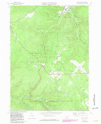
1969 Map of Lewis Run
USGS Topo · Published 1981About this map
The extraction landscape of McKean County dominates this 1969 survey, where the Marshburg Oil Field and Lewis Run Oil Field underscore the region's industrial heritage. Numerous drill holes and gas wells are scattered across the slopes of Music Mountain and Cherry Hill, illustrating a late-twentieth-century peak in local resource development. The Baltimore and Ohio Railroad winds through the eastern valleys, serving established communities like Lewis Run and the smaller settlements of Irishtown and Big Shanty.
Find a feature on this map
35 named features on this map. Tap any name to fly to it.
Don’t see what you’re looking for? This feature index may not catch every label — zoom into the map to look around manually.
Map Details
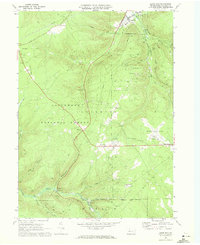
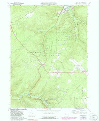
Editions of this 1969 Lewis Run Map
Other maps of this area

1924 · Bradford
USGS Topo · 1:62,500

1926 · Bradford
USGS Topo · 1:62,500

1934 · Kane
USGS Topo · 1:48,000

1935 · Mt. Jewett
USGS Topo · 1:48,000

1936 · Kinzua
USGS Topo · 1:48,000

1939 · Kane
USGS Topo · 1:62,500

1940 · Mt. Jewett
USGS Topo · 1:62,500

1941 · Kinzua
USGS Topo · 1:62,500

1941 · Bradford
USGS Topo · 1:62,500

1944 · Bradford
USGS Topo · 1:62,500
Featured Places
- Lafayette Township, PA
- Lewis Run, PA
- Taintor, Lafayette Township
- Big Shanty, Lafayette Township
- Riterville, Lafayette Township