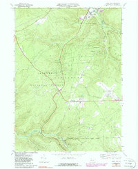
1969 Map of Lewis Run
USGS Topo · Published 1988About this map
The Marshburg Oil Field and Hamlin Oil Field define the industrial character of this McKean County landscape, where the extraction economy is etched across the Allegheny National Forest. The Baltimore and Ohio Railroad follows the valley of the East Branch Tunungwant Creek through the borough of Lewis Run, serving as a primary transit corridor for the region's natural resources. Settlement patterns reflect a mix of small hamlets and resource outposts such as Irishtown, Lafayette, and the interestingly named Timbuck and Tallyho.
Find a feature on this map
39 named features on this map. Tap any name to fly to it.
Don’t see what you’re looking for? This feature index may not catch every label — zoom into the map to look around manually.
Map Details
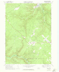
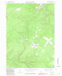
Editions of this 1969 Lewis Run Map
Other maps of this area

1924 · Bradford
USGS Topo · 1:62,500

1926 · Bradford
USGS Topo · 1:62,500

1934 · Kane
USGS Topo · 1:48,000

1935 · Mt. Jewett
USGS Topo · 1:48,000

1936 · Kinzua
USGS Topo · 1:48,000

1939 · Kane
USGS Topo · 1:62,500

1940 · Mt. Jewett
USGS Topo · 1:62,500

1941 · Kinzua
USGS Topo · 1:62,500

1941 · Bradford
USGS Topo · 1:62,500

1944 · Bradford
USGS Topo · 1:62,500
Featured Places
- Lafayette Township, PA
- Lewis Run, PA
- Taintor, Lafayette Township
- Big Shanty, Lafayette Township
- Riterville, Lafayette Township