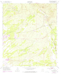
1952 Map of Lewis Springs
USGS Topo · Published 1978About this map
The Fort Huachuca Military Reservation dominates the western portion of this Cochise County landscape, where the high desert terrain transitions toward the fertile corridor of the San Pedro River. This 1952 survey, updated with late 1970s revisions, illustrates a region defined by ranching and transportation history. Local family holdings such as the Donnet-Fry Ranch and Bakarich-McCool Ranch are mapped alongside the natural drainages of Graveyard Gulch and Government Draw.
Find a feature on this map
17 named features on this map. Tap any name to fly to it.
Don’t see what you’re looking for? This feature index may not catch every label — zoom into the map to look around manually.
Map Details
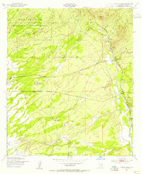
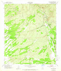
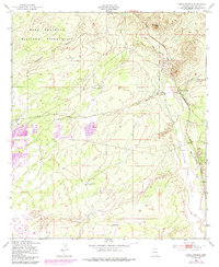
Editions of this 1952 Lewis Springs Map
4 editions found
Other maps of this area

1914 · Hereford
USGS Topo · 1:125,000

1915 · Benson
USGS Topo · 1:125,000

1922 · Sunnyside
USGS Topo · 1:62,500

1932 · Stark
USGS Topo · 1:62,500

1932 · Fairbank
USGS Topo · 1:62,500

1938 · Huachuca
USGS Topo · 1:62,500

1938 · Sunnyside
USGS Topo · 1:62,500

1943 · Benson
USGS Topo · 1:125,000

1948 · Fort Huachuca NE
USGS Topo · 1:24,000

1948 · Miller Peak
USGS Topo · 1:24,000