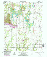
1963 Map of Lewis
USGS Topo · Published 1987About this map
The Wabash and Erie Canal traces a historic line across this landscape, marking an era when water-based commerce defined Indiana's growth. In the northern reaches, industrial extraction is visible through extensive Strip Mine operations and a sprawling Oil Field, contrasting with the more traditional rural patterns to the south. Small settlements like Blackhawk and Keller dot the map, while Lewis sits along the southern border between Vigo and Sullivan Counties.
Find a feature on this map
48 named features on this map. Tap any name to fly to it.
Don’t see what you’re looking for? This feature index may not catch every label — zoom into the map to look around manually.
Map Details
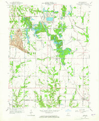
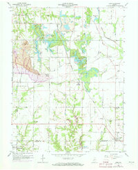
Editions of this 1963 Lewis Map
3 editions found
Other maps of this area

1908 · Clay City
USGS Topo · 1:48,000

1910 · Clay City
USGS Topo · 1:62,500

1940 · Lewis
USGS Topo · 1:24,000

1940 · Jasonville
USGS Topo · 1:24,000

1940 · Pimento
USGS Topo · 1:24,000

1941 · Seelyville
USGS Topo · 1:24,000

1941 · Terre Haute
USGS Topo · 1:24,000

1942 · Shelburn
USGS Topo · 1:24,000

1943 · Hymera
USGS Topo · 1:24,000

1948 · Terre Haute
USGS Topo · 1:24,000