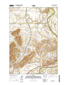
2014 Map of Lewisburg
USGS Topo · Published 2014About this map
Adair Village and the surrounding agricultural landscapes of the Willamette Valley are captured in this 2014 survey. The area is defined by the winding course of the Willamette River and the Luckiamute River, where seasonal drainage features like Bowers Slough and McCarthy Slough create a complex hydrologic network. The landscape transitions from the river bottoms to prominent elevations such as Coffin Butte and Poison Oak Hill.
Find a feature on this map
129 named features on this map. Tap any name to fly to it.
Don’t see what you’re looking for? This feature index may not catch every label — zoom into the map to look around manually.
Map Details
Editions of this 2014 Lewisburg Map
This is the sole edition of this map. No revisions or reprints were ever made.
Other maps of this area

1911 · Tangent
USGS Topo · 1:31,680

1912 · Jefferson
USGS Topo · 1:31,680

1913 · Philomath
USGS Topo · 1:31,680

1913 · Oakville
USGS Topo · 1:31,680

1913 · Wells
USGS Topo · 1:31,680

1914 · Independence
USGS Topo · 1:31,680

1914 · Soap Creek
USGS Topo · 1:31,680

1915 · Sidney
USGS Topo · 1:31,680

1916 · Albany
USGS Topo · 1:62,500

1917 · Salem
USGS Topo · 1:62,500