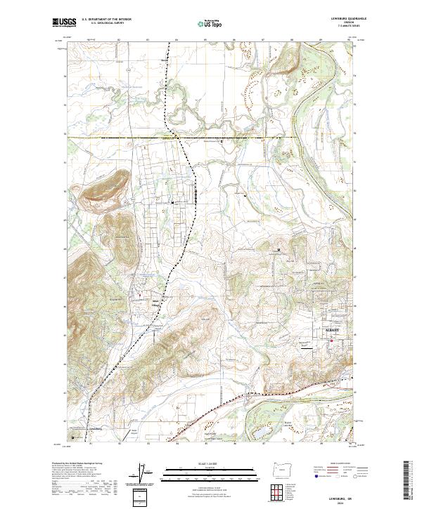
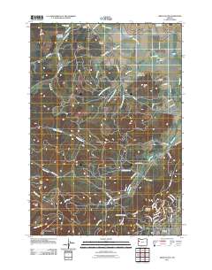
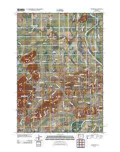
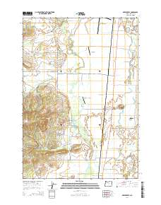
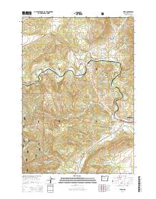
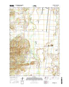
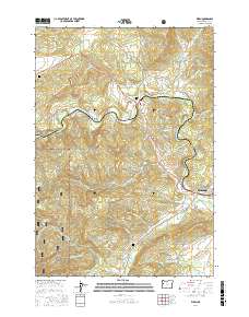
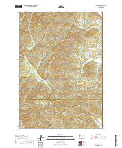
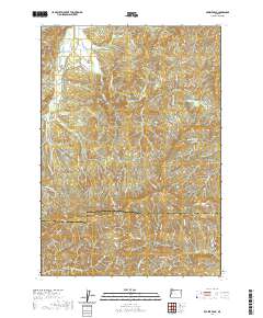
2024 Map of Lewisburg
USGS Topo · Published 2024About this map
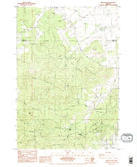
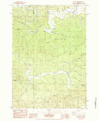
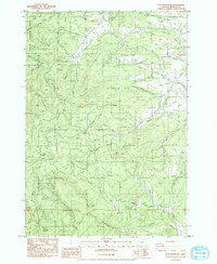
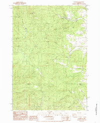
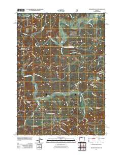
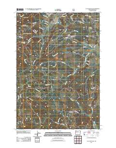
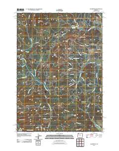
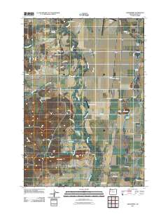
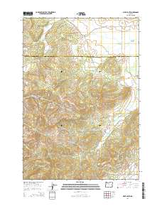
Adair Village and the rural reaches of the Willamette Valley are captured in this modern survey of the landscape where Benton and Polk counties meet. The area is defined by the winding course of the Willamette River and its complex network of sloughs and abandoned channels, such as McCarthy Slough and Bowers Slough. Higher ground is marked by prominent landmarks like Coffin Butte and Logsden Ridge, which rise above the agricultural plains.
Find a feature on this map
132 named features on this map. Tap any name to fly to it.
Don’t see what you’re looking for? This feature index may not catch every label — zoom into the map to look around manually.
Map Details
Editions of this 2024 Lewisburg Map
This is the sole edition of this map. No revisions or reprints were ever made.
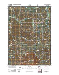
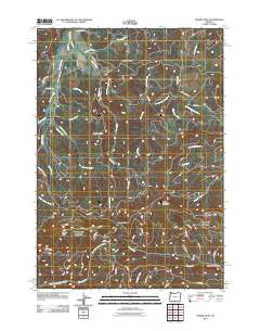
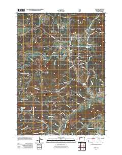
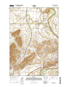
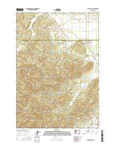
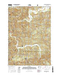
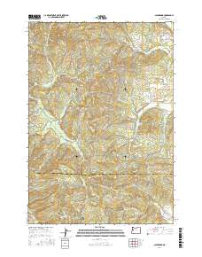
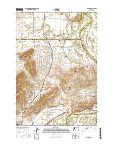
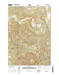
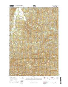
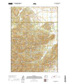
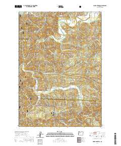
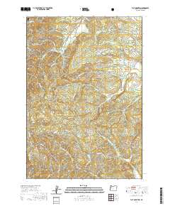
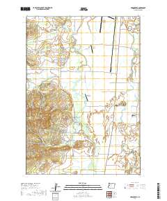
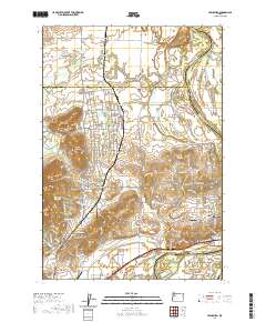
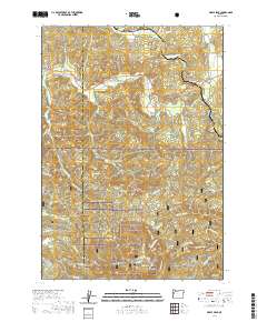
Historical Maps of Albany Through Time
57 maps found
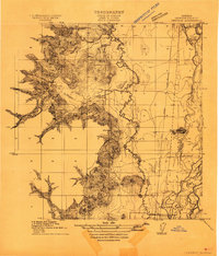
1911 Inavale
Benton County, OR

1913 Wells
Benton County, OR

1914 Soap Creek
Benton County, OR
1969 Greenberry
Benton County, OR
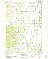
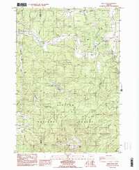
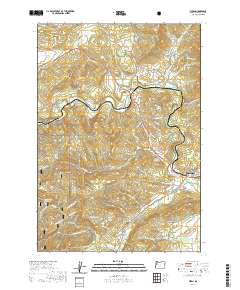
1970 Lewisburg
Benton County, OR
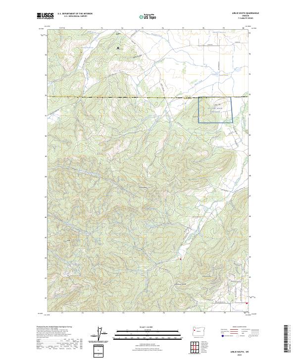
1984 Airlie South
Benton County, OR
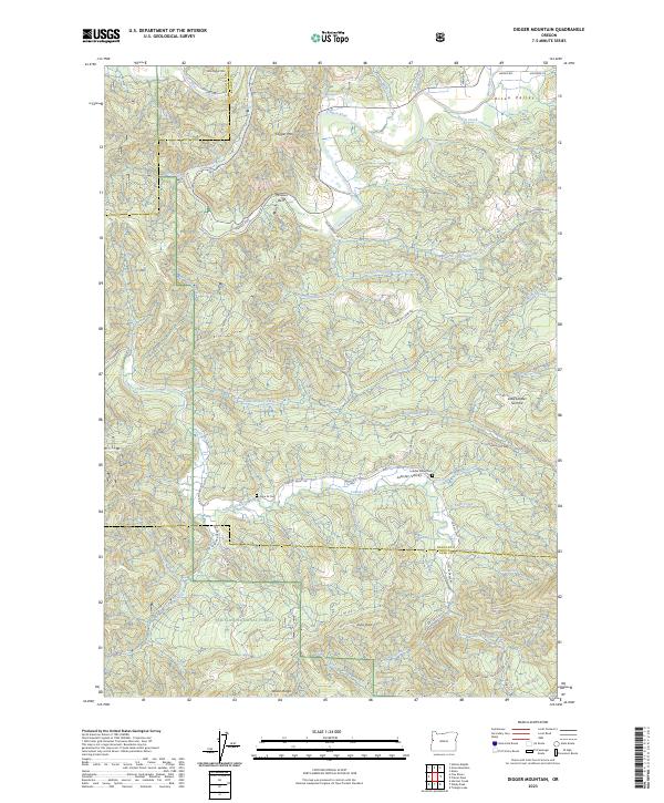
1984 Digger Mtn
Benton County, OR
1984 Flat Mountain
Benton County, OR
1984 Glenbrook
Benton County, OR
1984 Marys Peak
Benton County, OR
1984 Prairie Peak
Benton County, OR
1984 Wren
Benton County, OR
2011 Airlie South
Benton County, OR
2011 Digger Mountain
Benton County, OR
2011 Flat Mountain
Benton County, OR
2011 Glenbrook
Benton County, OR
2011 Greenberry
Benton County, OR
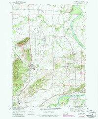
2011 Lewisburg
Benton County, OR
2011 Marys Peak
Benton County, OR
2011 Prairie Peak
Benton County, OR
2011 Wren
Benton County, OR
2014 Airlie South
Benton County, OR
2014 Digger Mountain
Benton County, OR
2014 Flat Mountain
Benton County, OR
2014 Glenbrook
Benton County, OR
2014 Greenberry
Benton County, OR
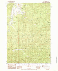
2014 Lewisburg
Benton County, OR
2014 Marys Peak
Benton County, OR
2014 Prairie Peak
Benton County, OR
2014 Wren
Benton County, OR
2017 Airlie South
Benton County, OR
2017 Digger Mountain
Benton County, OR

2017 Flat Mountain
Benton County, OR
2017 Glenbrook
Benton County, OR
2017 Greenberry
Benton County, OR
2017 Lewisburg
Benton County, OR
2017 Marys Peak
Benton County, OR
2017 Prairie Peak
Benton County, OR
2017 Wren
Benton County, OR
2020 Airlie South
Benton County, OR
2020 Digger Mountain
Benton County, OR
2020 Flat Mountain
Benton County, OR
2020 Glenbrook
Benton County, OR
2020 Greenberry
Benton County, OR
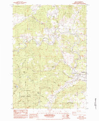
2020 Lewisburg
Benton County, OR
2020 Marys Peak
Benton County, OR
2020 Prairie Peak
Benton County, OR
2020 Wren
Benton County, OR
2023 Airlie South
Benton County, OR
2023 Digger Mountain
Benton County, OR
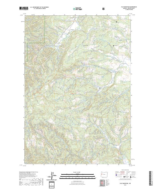
2023 Flat Mountain
Benton County, OR
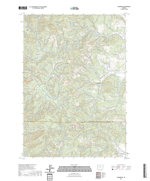
2023 Glenbrook
Benton County, OR
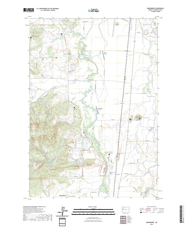
2023 Greenberry
Benton County, OR
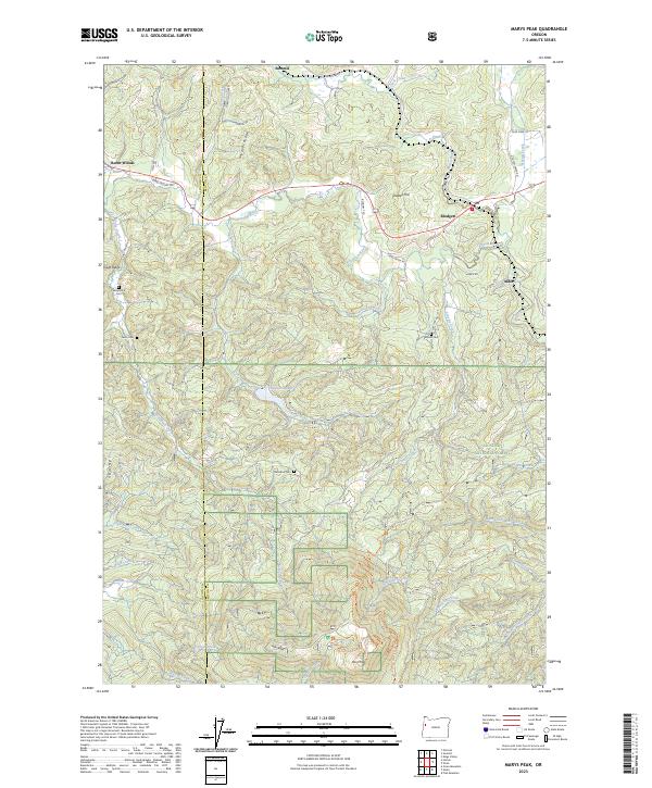
2023 Marys Peak
Benton County, OR
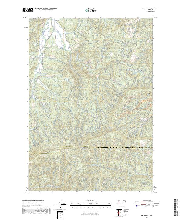
2023 Prairie Peak
Benton County, OR
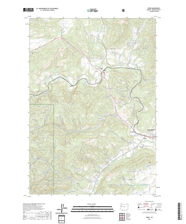
2023 Wren
Benton County, OR
2024 Lewisburg
Benton County, OR