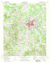
1966 Map of Lewisburg
USGS Topo · Published 1969About this map
Lewisburg serves as the focal point of this mid-1960s study, showing a community expanding through new residential developments like Wallace Acres, Hickory Heights, and Marshall Heights. The town's industrial and municipal infrastructure is well-defined, including the Filtration plant, a Sewage disposal plant, and the National Guard Armory. Beyond the urban core, the landscape transitions into the agricultural and scientific grounds of the U S Experimental Dairy Farm, reflecting the region's dairy heritage.
Find a feature on this map
119 named features on this map. Tap any name to fly to it.
Don’t see what you’re looking for? This feature index may not catch every label — zoom into the map to look around manually.
Map Details
Editions of this 1966 Lewisburg Map
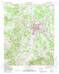
2 editions found
Other maps of this area

1936 · Farmington
USGS Topo · 1:24,000

1936 · Belfast
USGS Topo · 1:24,000

1936 · Cornersville
USGS Topo · 1:24,000

1936 · Lewisburg
USGS Topo · 1:24,000

1936 · Brick Church
USGS Topo · 1:24,000

1936 · Verona
USGS Topo · 1:24,000

1936 · Campbells Station
USGS Topo · 1:24,000

1936 · Petersburg
USGS Topo · 1:24,000

1936 · Glendale
USGS Topo · 1:24,000

1944 · Shelbyville
USGS Topo · 1:100,000