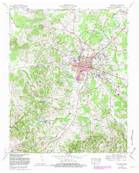
1966 Map of Lewisburg
USGS Topo · Published 1981About this map
The Lewisburg landscape in the mid-1960s reflects a bustling county seat shaped by its transit corridors and agricultural roots. The Louisville and Nashville Railroad cuts through the eastern side of town, supporting industrial sites like the quarry and several training schools. Residential growth is evident in named subdivisions such as Hickory Heights, Wallace Acres, and Lincoln Park, which expanded the town's footprint toward the north and east.
Find a feature on this map
109 named features on this map. Tap any name to fly to it.
Don’t see what you’re looking for? This feature index may not catch every label — zoom into the map to look around manually.
Map Details
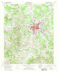
Editions of this 1966 Lewisburg Map
2 editions found
Other maps of this area

1936 · Farmington
USGS Topo · 1:24,000

1936 · Belfast
USGS Topo · 1:24,000

1936 · Cornersville
USGS Topo · 1:24,000

1936 · Lewisburg
USGS Topo · 1:24,000

1936 · Brick Church
USGS Topo · 1:24,000

1936 · Verona
USGS Topo · 1:24,000

1936 · Campbells Station
USGS Topo · 1:24,000

1936 · Petersburg
USGS Topo · 1:24,000

1936 · Glendale
USGS Topo · 1:24,000

1944 · Shelbyville
USGS Topo · 1:100,000