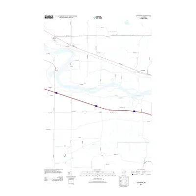
2013 Map of Lewiston
USGS Topo · Published 2013About this map
The Wisconsin River serves as the central geographic feature of this 2013 survey, winding through a landscape shaped by drainage basins and lowland lakes. The topography is defined by the proximity of several significant water bodies, including Corning Lake to the north and the complex network of Leech Lake and Leech Creek further south. The Baraboo River briefly enters the frame at the southeastern corner, illustrating the riverine character of this portion of Sauk and Columbia counties.
Find a feature on this map
54 named features on this map. Tap any name to fly to it.
Don’t see what you’re looking for? This feature index may not catch every label — zoom into the map to look around manually.
Map Details
Editions of this 2013 Lewiston Map
This is the sole edition of this map. No revisions or reprints were ever made.
Other maps of this area

1895 · Baraboo
USGS Topo · 1:62,500

1901 · Denzer
USGS Topo · 1:62,500

1901 · The Dells
USGS Topo · 1:62,500

1902 · Briggsville
USGS Topo · 1:62,500

1908 · Baraboo
USGS Topo · 1:62,500

1957 · Wisconsin Dells
USGS Topo · 1:62,500

1957 · Madison
USGS Topo · 1:250,000

1958 · Briggsville
USGS Topo · 1:62,500

1958 · North Freedom
USGS Topo · 1:62,500

1959 · Baraboo
USGS Topo · 1:62,500