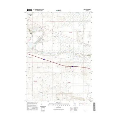
2016 Map of Lewiston
USGS Topo · Published 2016About this map
The Wisconsin River carves a sweeping path through the heart of this landscape, marking the transition between the modern recreation hubs of Wisconsin Dells and Lake Delton and the quieter agricultural reaches of Lewiston. This 2016 survey highlights the intricate drainage patterns of the region, where the Baraboo River flows near the Lower Narrows and Leech Creek meanders through the southern lowlands. For those researching family history or local settlement patterns, the map identifies several significant burial grounds, including Newport Lutheran Cem, Hillcrest Cem, and Fairfield Cem. The terrain is further defined by scattered water bodies like Corning Lake and Chapman Lake, illustrating the complex glacial geography that has shaped the borders of Columbia and Sauk Counties.
Find a feature on this map
67 named features on this map. Tap any name to fly to it.
Don’t see what you’re looking for? This feature index may not catch every label — zoom into the map to look around manually.
Map Details
Editions of this 2016 Lewiston Map
This is the sole edition of this map. No revisions or reprints were ever made.
Other maps of this area

1895 · Baraboo
USGS Topo · 1:62,500

1901 · Denzer
USGS Topo · 1:62,500

1901 · The Dells
USGS Topo · 1:62,500

1902 · Briggsville
USGS Topo · 1:62,500

1908 · Baraboo
USGS Topo · 1:62,500

1957 · Wisconsin Dells
USGS Topo · 1:62,500

1957 · Madison
USGS Topo · 1:250,000

1958 · Briggsville
USGS Topo · 1:62,500

1958 · North Freedom
USGS Topo · 1:62,500

1959 · Baraboo
USGS Topo · 1:62,500