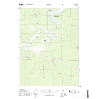
2018 Map of Lewiston
USGS Topo · Published 2018About this map
The Trinity River winds through the heart of this landscape, anchoring the settlement of Lewiston and its local Po. The geography is defined by a dense network of gulches and creeks, including Sawmill Gulch and Snipe Gulch, reflecting a history of small-scale mining and timber activity. North of the town center, Lewiston Lake sits within the Trinity National Forest, bordered by the evocative Starvation Flat.
Find a feature on this map
74 named features on this map. Tap any name to fly to it.
Don’t see what you’re looking for? This feature index may not catch every label — zoom into the map to look around manually.
Map Details
Editions of this 2018 Lewiston Map
This is the sole edition of this map. No revisions or reprints were ever made.
Other maps of this area

1890 · Red Bluff
USGS Topo · 1:250,000

1894 · Red Bluff
USGS Topo · 1:250,000

1913 · Weaverville
USGS Topo · 1:125,000

1944 · French Gulch
USGS Topo · 1:62,500

1948 · French Gulch
USGS Topo · 1:62,500

1950 · Minersville
USGS Topo · 1:62,500

1950 · Schell Mtn
USGS Topo · 1:62,500

1950 · Weaverville
USGS Topo · 1:62,500
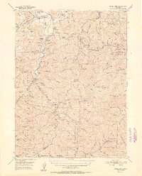
1952 · Schell Mtn.
USGS Topo · 1:62,500

1952 · Weaverville
USGS Topo · 1:62,500