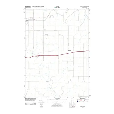
2010 Map of Lewiston
USGS Topo · Published 2010About this map
Lewiston serves as the primary hub in this corner of Winona County, centered around the Lewiston Post Office and a grid defined by E Main St and S Fremont St. The surrounding landscape is a patchwork of agricultural townships, where the terrain shifts from the heights of German Ridge down into the Ferguson Valley. Waterways like Rush Creek and Garvin Brook carve through the countryside, influencing the placement of local infrastructure such as the Warren Township Road Structure Dam.
Find a feature on this map
45 named features on this map. Tap any name to fly to it.
Don’t see what you’re looking for? This feature index may not catch every label — zoom into the map to look around manually.
Map Details
Editions of this 2010 Lewiston Map
This is the sole edition of this map. No revisions or reprints were ever made.
Other maps of this area

1929 · Fountain City
USGS Topo · 1:62,500

1932 · Cochrane
USGS Topo · 1:62,500

1934 · Winona
USGS Topo · 1:62,500

1934 · Cochrane
USGS Topo · 1:62,500

1937 · Winona
USGS Topo · 1:62,500

1937 · Cochrane
USGS Topo · 1:62,500

1953 · Eau Claire
USGS Topo · 1:250,000

1954 · Lewiston
USGS Topo · 1:62,500

1958 · Eau Claire
USGS Topo · 1:250,000

1958 · Houston
USGS Topo · 1:62,500