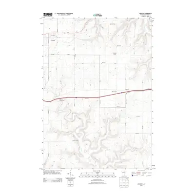
2013 Map of Lewiston
USGS Topo · Published 2013About this map
Lewiston serves as the primary hub of this landscape, situated along Us-14 and Co HWY-25 with its localized grid including Williams St and S Fremont St. The topography is defined by significant elevation changes, ranging from the heights of German Ridge to the deep incisions of Schoeniger Valley and Ferguson Valley. This dissected plateau character is reinforced by the winding courses of Rush Cr and Garvin Brook, which dictate the placement of rural roads and historical landmarks.
Find a feature on this map
47 named features on this map. Tap any name to fly to it.
Don’t see what you’re looking for? This feature index may not catch every label — zoom into the map to look around manually.
Map Details
Editions of this 2013 Lewiston Map
This is the sole edition of this map. No revisions or reprints were ever made.
Other maps of this area

1929 · Fountain City
USGS Topo · 1:62,500

1932 · Cochrane
USGS Topo · 1:62,500

1934 · Winona
USGS Topo · 1:62,500

1934 · Cochrane
USGS Topo · 1:62,500

1937 · Winona
USGS Topo · 1:62,500

1937 · Cochrane
USGS Topo · 1:62,500

1953 · Eau Claire
USGS Topo · 1:250,000

1954 · Lewiston
USGS Topo · 1:62,500

1958 · Eau Claire
USGS Topo · 1:250,000

1958 · Houston
USGS Topo · 1:62,500