
1941 Map of Lewistown
USGS Topo · Published 1959About this map
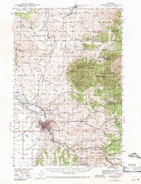
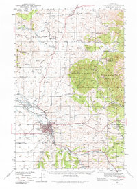
The Judith Mountains dominate the eastern half of this landscape, rising above the industrial and agricultural hub of Lewistown. This 1941 survey captures the region during a period of active mineral extraction and rail transport, featuring the Chicago Milwaukee St Paul and Pacific line and the Great Northern (Abandoned) right-of-way. The economy is clearly defined by natural resource wealth, from the New Year Mine (Inactive) and Brown Coal Mine to the Oil Refinery located just west of the city center.
Find a feature on this map
54 named features on this map. Tap any name to fly to it.
Don’t see what you’re looking for? This feature index may not catch every label — zoom into the map to look around manually.
Map Details
Editions of this 1941 Lewistown Map
3 editions found
Other maps of this area

1889 · Big Snowy Mountain
USGS Topo · 1:250,000

1893 · Big Snowy Mountain
USGS Topo · 1:250,000

1941 · Judith Peak
USGS Topo · 1:62,500

1944 · Lewistown
USGS Topo · 1:62,500

1944 · Judith Peak
USGS Topo · 1:62,500

1954 · Roundup
USGS Topo · 1:250,000

1954 · Lewistown
USGS Topo · 1:250,000

1958 · Roundup
USGS Topo · 1:250,000

1959 · Lewistown
USGS Topo · 1:250,000

1970 · Glengarry
USGS Topo · 1:24,000