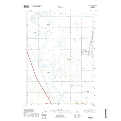
2020 Map of Lewisville
USGS Topo · Published 2020About this map
The Snake River carves a winding path through this corner of the Upper Snake River Valley, defining a landscape dominated by an intricate network of irrigation systems. Settlements like Lewisville and Roberts are connected by a web of historic canals, including the Butte Market Lake Canal and the Great Western Canal, which transformed this arid volcanic plain into productive farmland. The terrain is largely level, broken only by the distinct volcanic elevations of the Lewisville Knolls.
Find a feature on this map
63 named features on this map. Tap any name to fly to it.
Don’t see what you’re looking for? This feature index may not catch every label — zoom into the map to look around manually.
Map Details
Editions of this 2020 Lewisville Map
This is the sole edition of this map. No revisions or reprints were ever made.
Other maps of this area

1948 · Rigby
USGS Topo · 1:24,000

1948 · Lewisville
USGS Topo · 1:24,000

1948 · Idaho Falls North
USGS Topo · 1:24,000

1948 · Ucon
USGS Topo · 1:24,000

1949 · Ucon
USGS Topo · 1:24,000

1949 · Idaho Falls North
USGS Topo · 1:24,000

1949 · Rigby
USGS Topo · 1:24,000

1949 · Lewisville
USGS Topo · 1:24,000

1949 · Roberts
USGS Topo · 1:62,500

1949 · Roberts
USGS Topo · 1:24,000