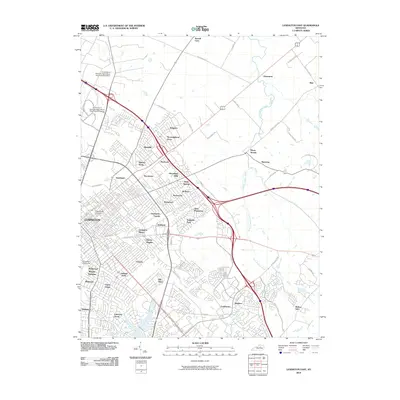
2010 Map of Lexington East
USGS Topo · Published 2010About this map
Lexington and its eastern suburbs are captured here at a moment of significant 21st-century residential and institutional density. The map reveals the extensive footprint of higher education, specifically University of Kentucky and Transylvania University, alongside the sprawling University of Kentucky Agricultural Experimental Station to the north. Neighborhoods such as Chevy Chase, Ashland Park, and Idle Hour illustrate the established residential core, while the expansion of newer developments like Thoroughbred Acres and Kenawood toward the interstate corridors signals the city's outward growth.
Find a feature on this map
72 named features on this map. Tap any name to fly to it.
Don’t see what you’re looking for? This feature index may not catch every label — zoom into the map to look around manually.
Map Details
Editions of this 2010 Lexington East Map
This is the sole edition of this map. No revisions or reprints were ever made.
Other maps of this area

1892 · Richmond
USGS Topo · 1:125,000

1897 · Richmond
USGS Topo · 1:125,000

1905 · Harrodsburg
USGS Topo · 1:125,000

1906 · Georgetown
USGS Topo · 1:62,500

1908 · Georgetown
USGS Topo · 1:62,500

1927 · Lexington
USGS Topo · 1:48,000

1929 · Lexington
USGS Topo · 1:62,500

1950 · Lexington East
USGS Topo · 1:24,000

1950 · Lexington West
USGS Topo · 1:24,000

1952 · Nicholasville
USGS Topo · 1:24,000