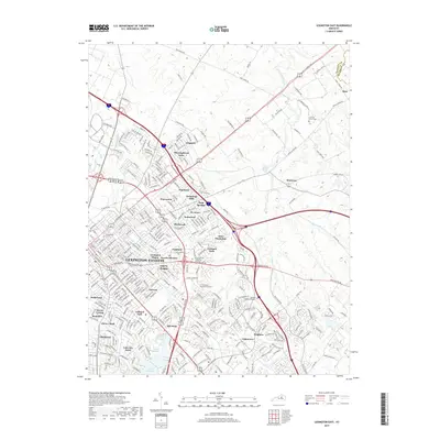
2019 Map of Lexington East
USGS Topo · Published 2019About this map
The suburban landscape and historic horse-country estates of eastern Lexington-Fayette are mapped here in the late 2010s. The area north of the city core shows a transition from dense residential neighborhoods like Liberty Heights and Fairway to the expansive thoroughbred farms along Paris Pike and Iron Works Rd. The map documents numerous established communities including Thoroughbred Acres, Hermitage Hills, and Cadentown, while preserving the locations of earlier landmarks such as Howards Grove Cem and Bryan Station Spring. Academic and commercial growth is evident through the footprints of Transylvania Univ and the ITT Technical Institute-Lexington. The natural hydrology of the Bluegrass region is dominated by North Elkhorn Creek and its tributary David Fork, alongside engineered features like Reservoir Number 1 and Lake Hickman.
Find a feature on this map
302 named features on this map. Tap any name to fly to it.
Don’t see what you’re looking for? This feature index may not catch every label — zoom into the map to look around manually.
Map Details
Editions of this 2019 Lexington East Map
This is the sole edition of this map. No revisions or reprints were ever made.
Other maps of this area

1892 · Richmond
USGS Topo · 1:125,000

1897 · Richmond
USGS Topo · 1:125,000

1905 · Harrodsburg
USGS Topo · 1:125,000

1906 · Georgetown
USGS Topo · 1:62,500

1908 · Georgetown
USGS Topo · 1:62,500

1927 · Lexington
USGS Topo · 1:48,000

1929 · Lexington
USGS Topo · 1:62,500

1950 · Lexington East
USGS Topo · 1:24,000

1950 · Lexington West
USGS Topo · 1:24,000

1952 · Nicholasville
USGS Topo · 1:24,000