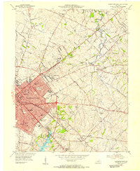
1954 Map of Lexington East
USGS Topo · Published 1955About this map
Lexington serves as the focal point of this mid-1950s survey, illustrating a period of significant growth where institutional landmarks and residential expansions meet the Bluegrass countryside. Educational history is densely represented here, from the campus of Transylvania University and Sayre College to local institutions like Constitution Sch and Morton Jr High Sch. The urban center gives way to a network of historic turnpikes and pikes, including Paris Road and Winchester Pike, which lead toward established horse country estates and rural settlements like Elmendorf and Muir.
Find a feature on this map
56 named features on this map. Tap any name to fly to it.
Don’t see what you’re looking for? This feature index may not catch every label — zoom into the map to look around manually.
Map Details
Editions of this 1954 Lexington East Map
This is the sole edition of this map. No revisions or reprints were ever made.
Other maps of this area

1892 · Richmond
USGS Topo · 1:125,000

1897 · Richmond
USGS Topo · 1:125,000

1905 · Harrodsburg
USGS Topo · 1:125,000

1906 · Georgetown
USGS Topo · 1:62,500

1908 · Georgetown
USGS Topo · 1:62,500

1927 · Lexington
USGS Topo · 1:48,000

1929 · Lexington
USGS Topo · 1:62,500

1950 · Lexington East
USGS Topo · 1:24,000

1950 · Lexington West
USGS Topo · 1:24,000

1952 · Nicholasville
USGS Topo · 1:24,000