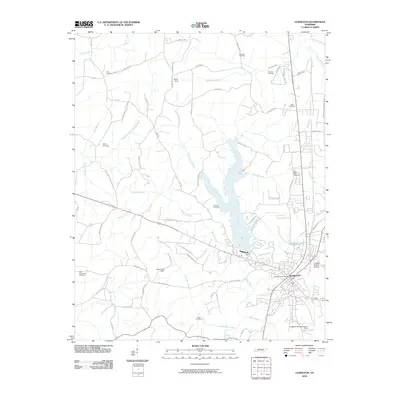
2010 Map of Lexington
USGS Topo · Published 2010About this map
Lexington serves as the focal point of this Tennessee survey, situated at the confluence of several local water systems including the Beech River and Town Branch. The landscape is defined by the containment of local waters, notably at the Beech Dam which creates a significant reservoir north of the city center. This area exhibits a transition from the urban grid of the town to a surrounding network of rural roads such as Sand Ridge Rd and Bargerton - Union Cross Rd. Numerous family and community burial sites are scattered throughout the region, including Hall Cemetery, Caffey Cemetery, and the Old Hephzibah Cemetery to the west. Aviation and logistics are represented by the Franklin Wilkins Airport on the eastern edge, while the Lexington Post Office remains a central landmark for the community. The northern reaches are characterized by the Big Sandy River and smaller tributaries like Spring Creek, indicating the well-watered nature of Henderson County.
Find a feature on this map
71 named features on this map. Tap any name to fly to it.
Don’t see what you’re looking for? This feature index may not catch every label — zoom into the map to look around manually.
Map Details
Editions of this 2010 Lexington Map
This is the sole edition of this map. No revisions or reprints were ever made.
Other maps of this area

1936 · Clarksburg
USGS Topo · 1:24,000

1936 · Lexington
USGS Topo · 1:24,000

1936 · Yuma
USGS Topo · 1:24,000

1936 · Reagan
USGS Topo · 1:24,000

1936 · Life
USGS Topo · 1:24,000

1936 · Chesterfield
USGS Topo · 1:24,000

1950 · Reagan
USGS Topo · 1:24,000

1950 · Life
USGS Topo · 1:24,000

1950 · Yuma
USGS Topo · 1:24,000

1950 · Lexington
USGS Topo · 1:24,000