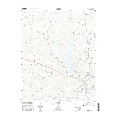
2016 Map of Lexington
USGS Topo · Published 2016About this map
Lexington serves as the focal point of this West Tennessee landscape, situated along the Beech River and near the prominent Tennessee Valley Divide. The area’s geography is defined by the headwaters of several major drainage systems, including the Big Sandy River and the Middle Fork Forked Deer River. This 2016 survey illustrates the modern footprint of settlements like Sand Ridge, Broadway, and Bargeton, alongside significant water features such as Beech Lake and Berry Lake.
Find a feature on this map
148 named features on this map. Tap any name to fly to it.
Don’t see what you’re looking for? This feature index may not catch every label — zoom into the map to look around manually.
Map Details
Editions of this 2016 Lexington Map
This is the sole edition of this map. No revisions or reprints were ever made.
Other maps of this area

1936 · Clarksburg
USGS Topo · 1:24,000

1936 · Lexington
USGS Topo · 1:24,000

1936 · Yuma
USGS Topo · 1:24,000

1936 · Reagan
USGS Topo · 1:24,000

1936 · Life
USGS Topo · 1:24,000

1936 · Chesterfield
USGS Topo · 1:24,000

1950 · Reagan
USGS Topo · 1:24,000

1950 · Life
USGS Topo · 1:24,000

1950 · Yuma
USGS Topo · 1:24,000

1950 · Lexington
USGS Topo · 1:24,000