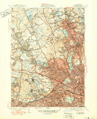
1946 Map of Lexington
USGS Topo · Published 1950About this map
Lexington and its neighboring towns in Middlesex County exhibit a landscape in mid-century transition, where established residential cores meet significant institutional campuses. The area is notable for a high concentration of medical and state facilities, including the Metropolitan State Hospital, Mc Lean Hospital, and the Fernald State Sch. These large tracts of land sit alongside the developing suburbs of Arlington Heights and East Lexington. The Boston and Maine Railroad provides a vital transit spine, serving stops like Munroe Sta as it connects the industrial activity of Woburn and Waltham with the metropolitan center. Hydrographic features such as the Upper Mystic Lake and Fresh Pond define the eastern and southern edges, while numerous hills like Whipple Hill and Zion Hill break the inland terrain, often occupied by country clubs or parklands.
Find a feature on this map
121 named features on this map. Tap any name to fly to it.
Don’t see what you’re looking for? This feature index may not catch every label — zoom into the map to look around manually.
Map Details
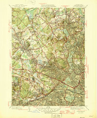
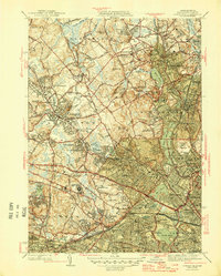
Editions of this 1946 Lexington Map
3 editions found
Other maps of this area

1886 · Lawrence
USGS Topo · 1:62,500

1886 · Lowell
USGS Topo · 1:62,500

1886 · Framingham
USGS Topo · 1:62,500

1888 · Lawrence
USGS Topo · 1:62,500

1889 · Framingham
USGS Topo · 1:62,500

1893 · Lowell
USGS Topo · 1:62,500

1893 · Boston
USGS Topo · 1:62,500

1893 · Lawrence
USGS Topo · 1:62,500

1894 · Framingham
USGS Topo · 1:62,500

1903 · Boston
USGS Topo · 1:62,500