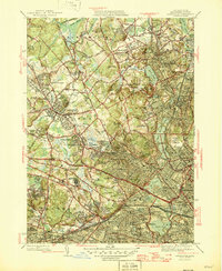
1946 Map of Lexington
USGS Topo · Published 1946About this map
Lexington and its surrounding Middlesex County neighbors appear here in a post-war landscape defined by dense residential growth and large-scale institutional grounds. The map captures an era when several significant health and educational facilities occupied extensive acreage, including the Metropolitan State Hospital, Middlesex County Sanatorium, and McLean Hospital in Belmont. Transportation across this suburban corridor relies on the Boston and Maine railroad network, connecting villages like East Lexington and Waverley to the larger centers. In the southern portion, Cambridge reveals a cluster of academic and civic sites, notably Harvard College and the Observatory near Fresh Pond. These details, alongside local landmarks like Ye Old Burying Ground, provide a clear picture of the region's transition from colonial crossroads to a critical hub of the Massachusetts interior.
Find a feature on this map
144 named features on this map. Tap any name to fly to it.
Don’t see what you’re looking for? This feature index may not catch every label — zoom into the map to look around manually.
Map Details
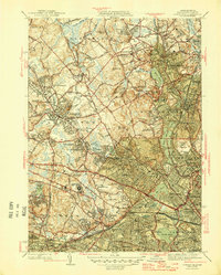
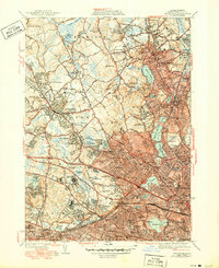
Editions of this 1946 Lexington Map
3 editions found
Other maps of this area

1886 · Lawrence
USGS Topo · 1:62,500

1886 · Lowell
USGS Topo · 1:62,500

1886 · Framingham
USGS Topo · 1:62,500

1888 · Lawrence
USGS Topo · 1:62,500

1889 · Framingham
USGS Topo · 1:62,500

1893 · Lowell
USGS Topo · 1:62,500

1893 · Boston
USGS Topo · 1:62,500

1893 · Lawrence
USGS Topo · 1:62,500

1894 · Framingham
USGS Topo · 1:62,500

1903 · Boston
USGS Topo · 1:62,500