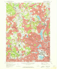
1971 Map of Lexington
USGS Topo · Published 1973About this map
Metropolitan State Hospital and the Fernald State School occupy prominent grounds in the western portion of this 1970s landscape, reflecting the heavy concentration of institutional land use in the suburban corridor northwest of Boston. The map reveals a transition from the established residential street grids of Arlington and Belmont toward the increasingly suburbanized hills of Lexington and Burlington. Substantial academic and healthcare footprints are visible throughout, from Bentley College to the Mc Lean Hospital and the Northeastern Univ Suburban Campus. The burgeoning commercial landscape of the era is anchored by the Burlington Mall Shopping Center near the intersection of major transit arteries. Natural features including Mystic Lake, Horn Pond, and the Middlesex Fells Reservation offer a contrast to the dense network of named hills like Mt Gilboa and Whipple Hill.
Find a feature on this map
157 named features on this map. Tap any name to fly to it.
Don’t see what you’re looking for? This feature index may not catch every label — zoom into the map to look around manually.
Map Details
Editions of this 1971 Lexington Map
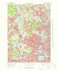
2 editions found
Other maps of this area

1886 · Lawrence
USGS Topo · 1:62,500

1886 · Lowell
USGS Topo · 1:62,500

1886 · Framingham
USGS Topo · 1:62,500

1888 · Lawrence
USGS Topo · 1:62,500

1889 · Framingham
USGS Topo · 1:62,500

1893 · Lowell
USGS Topo · 1:62,500

1893 · Boston
USGS Topo · 1:62,500

1893 · Lawrence
USGS Topo · 1:62,500

1894 · Framingham
USGS Topo · 1:62,500

1903 · Boston
USGS Topo · 1:62,500