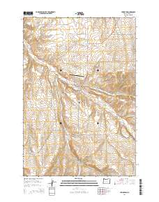
2014 Map of Lexington
USGS Topo · Published 2014About this map
Lexington sits at the junction of several drainage systems in the dry interior of Morrow County, where the valley of Willow Cr provides a natural corridor for movement. The town layout is clearly defined by W Main St and S Front St, serving as a central hub for the surrounding plateau and its agricultural infrastructure. Numerous canyons, such as Clarks Canyon and Blackhorse Canyon, carve into the high ground, illustrating how water has shaped the accessibility of the region. Local history is anchored by the Lexington Cem and the small Lexington Airport, while the outlying areas like Social Ridge show the transition into more isolated territory. The landscape is characterized by a network of rural roads, including Cemetery Hill Rd and Social Ridge Ln, which connect dispersed ranching or farming operations across the high ridges above Cutsforth Reservoir.
Find a feature on this map
41 named features on this map. Tap any name to fly to it.
Don’t see what you’re looking for? This feature index may not catch every label — zoom into the map to look around manually.
Map Details
Editions of this 2014 Lexington Map
This is the sole edition of this map. No revisions or reprints were ever made.
Other maps of this area

1906 · Blalock Island
USGS Topo · 1:125,000

1908 · Blalock Island
USGS Topo · 1:125,000

1953 · Pendleton
USGS Topo · 1:250,000

1956 · Pendleton
USGS Topo · 1:250,000

1968 · Swaggart Buttes
USGS Topo · 1:24,000

1968 · Lexington
USGS Topo · 1:24,000

1968 · Ione North
USGS Topo · 1:24,000

1968 · Eightmile
USGS Topo · 1:24,000

1968 · Ruggs
USGS Topo · 1:24,000

1968 · Ione South
USGS Topo · 1:24,000