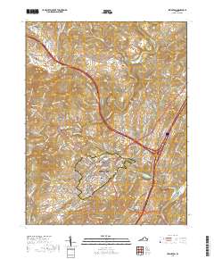
2019 Map of Lexington
USGS Topo · Published 2019About this map
Lexington and the campus of Washington and Lee University form the center of this 2019 survey, showing the intersection of academic tradition and civil administration at the Rockbridge County Courthouse. The town’s historical footprint is well-documented through its numerous burial grounds, from the central Stonewall Jackson Memorial Cem and Evergreen Cem to the outlying Old Monmouth Cem and New Monmouth Cem.
Find a feature on this map
179 named features on this map. Tap any name to fly to it.
Don’t see what you’re looking for? This feature index may not catch every label — zoom into the map to look around manually.
Map Details
Editions of this 2019 Lexington Map
This is the sole edition of this map. No revisions or reprints were ever made.
Other maps of this area

1894 · Natural Bridge
USGS Topo · 1:125,000

1894 · Lexington
USGS Topo · 1:125,000

1894 · Natural Bridge
USGS Topo · 1:62,500

1907 · Natural Bridge Special
USGS Topo · 1:62,500

1932 · Lexington
USGS Topo · 1:48,000

1935 · Buena Vista
USGS Topo · 1:48,000

1937 · Lexington
USGS Topo · 1:62,500

1939 · Buena Vista
USGS Topo · 1:62,500

1940 · Buena Vista
USGS Topo · 1:62,500

1946 · Millboro
USGS Topo · 1:62,500