
1968 Map of Liberal NE
USGS Topo · Published 1970About this map
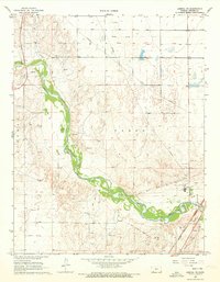
The Cimarron River carves a deep valley through the Kansas High Plains in this late 1960s study, defining the boundary between the townships of Fargo and Liberal. The settlement of Arkalon sits along the northern banks of the river, marked by the nearby Arkalon Cem and a network of service roads. The landscape reflects the industrial and agricultural reality of Seward County during this era, with numerous Gas Wells and an intricate system of Pipelines crossing the terrain.
Find a feature on this map
18 named features on this map. Tap any name to fly to it.
Don’t see what you’re looking for? This feature index may not catch every label — zoom into the map to look around manually.
Map Details
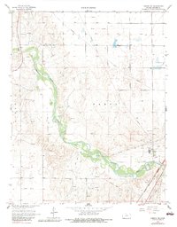
Editions of this 1968 Liberal NE Map
3 editions found
Other maps of this area

1955 · Dodge City
USGS Topo · 1:250,000

1958 · Dodge City
USGS Topo · 1:250,000

1959 · Dodge City
USGS Topo · 1:250,000

1968 · Plains SW
USGS Topo · 1:24,000

1968 · Sublette SW
USGS Topo · 1:24,000

1968 · Sublette SE
USGS Topo · 1:24,000

1968 · Liberal NW
USGS Topo · 1:24,000

1971 · Liberal
USGS Topo · 1:24,000
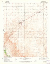
1971 · Kismet
USGS Topo · 1:24,000

1971 · Kismet SW
USGS Topo · 1:24,000