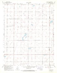
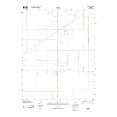
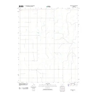
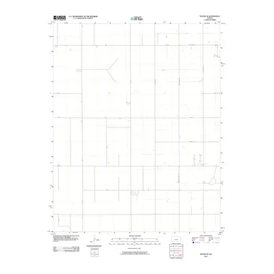
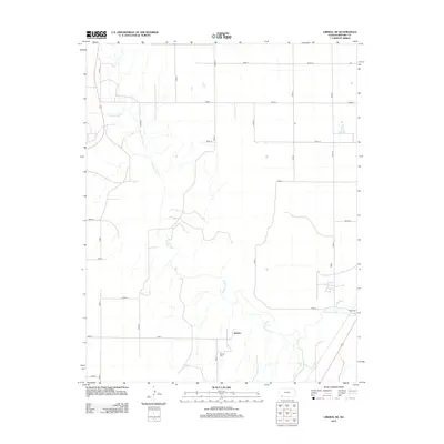
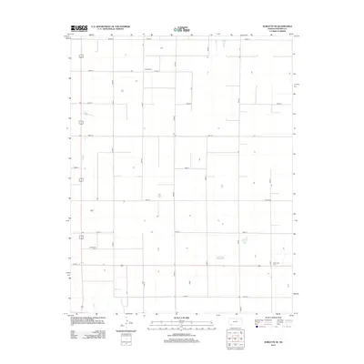
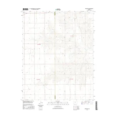
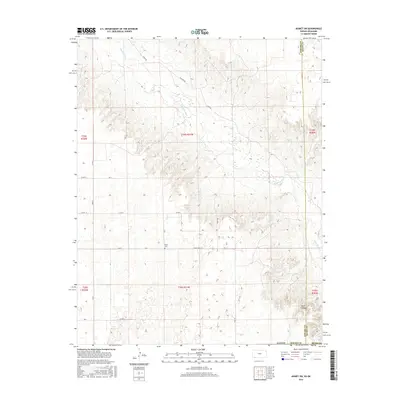
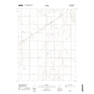
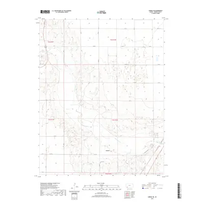
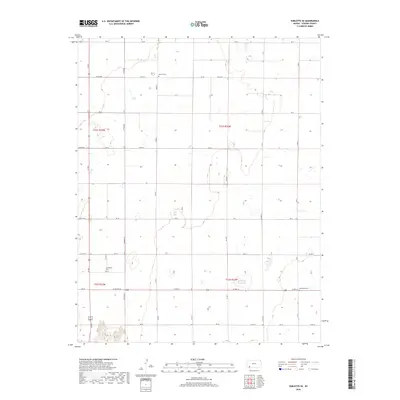
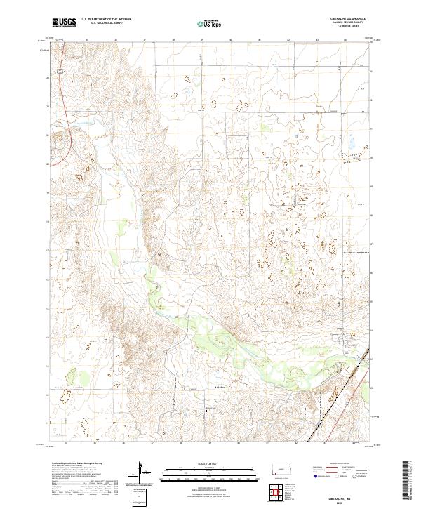
1968 Map of Liberal NE
USGS Topo · Published 1983About this map
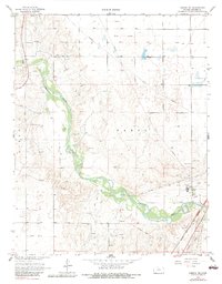
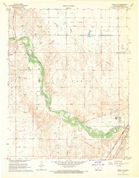
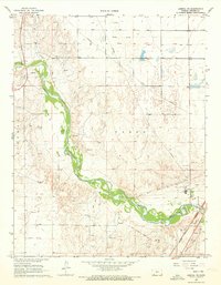
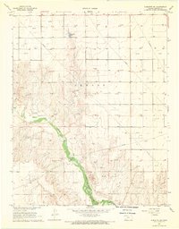
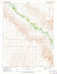
The Cimarron River carves a deep path through the High Plains of Southwest Kansas, defining the physical and economic character of this landscape in the late 1960s. South of the river, the small settlement of Arkalon remains a point of interest for local historians, accompanied nearby by the Arkalon Cem. The industrial footprint of Seward County is evident in the presence of a large Refinery and multiple Gravel Pits, signaling the region's reliance on natural resources and energy production during this era.
Find a feature on this map
12 named features on this map. Tap any name to fly to it.
Don’t see what you’re looking for? This feature index may not catch every label — zoom into the map to look around manually.
Map Details
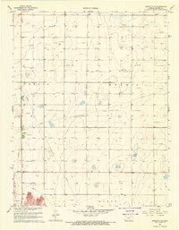
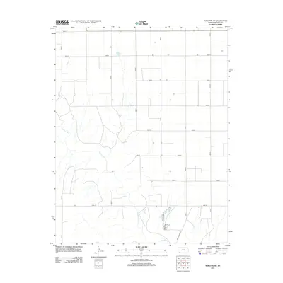
Editions of this 1968 Liberal NE Map
3 editions found
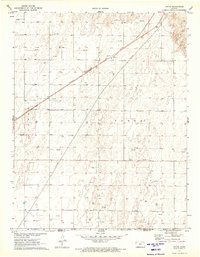
Historical Maps of Arkalon Through Time
60 maps found
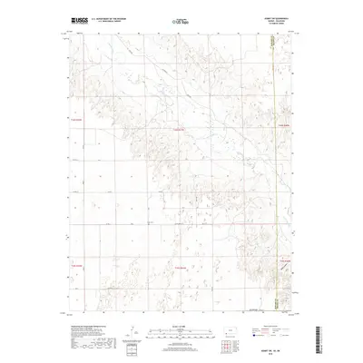
1968 Liberal NE
Seward County, KS
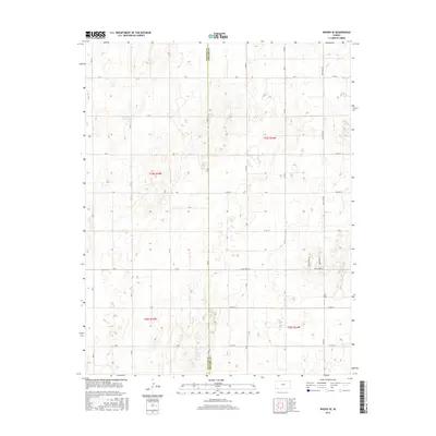
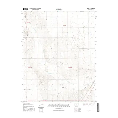
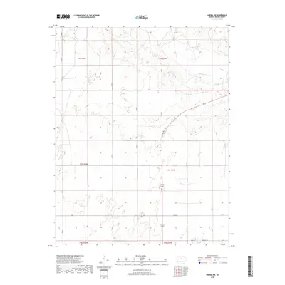
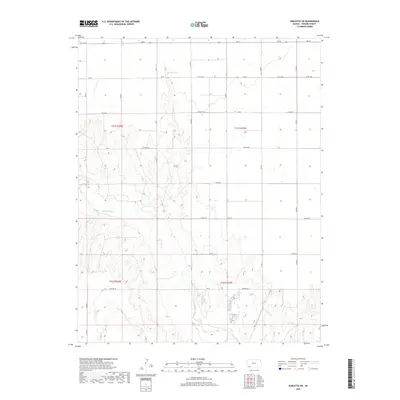
1968 Liberal NW
Seward County, KS
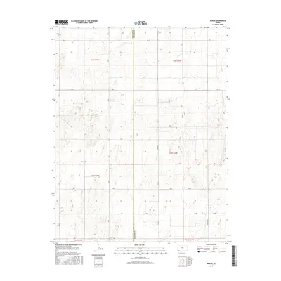
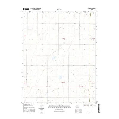
1968 Plains SW
Seward County, KS
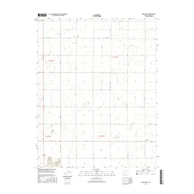
1968 Sublette SE
Seward County, KS
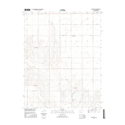
1968 Sublette SW
Seward County, KS
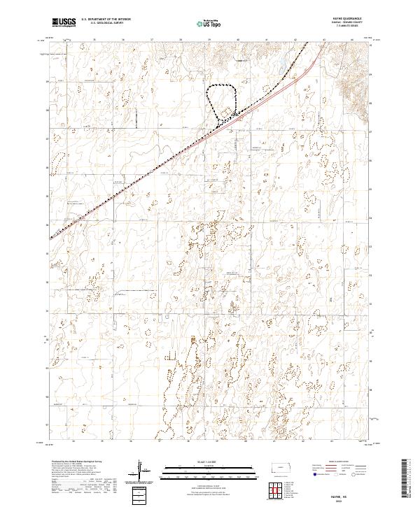
1971 Hayne
Seward County, KS
1971 Kismet SW
Seward County, KS
1974 Moscow SE
Seward County, KS
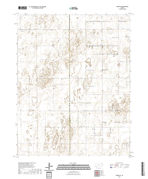
1974 Woods SE
Seward County, KS
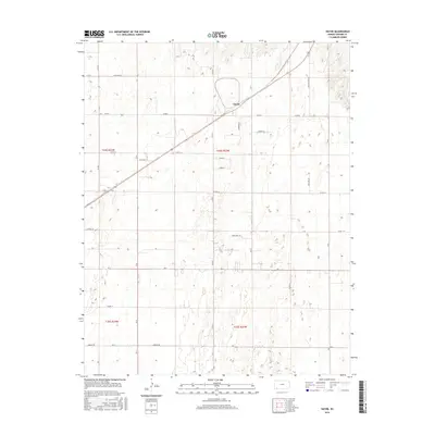
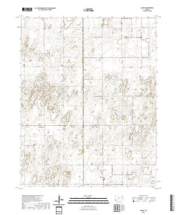
1974 Woods
Seward County, KS
2010 Hayne
Seward County, KS
2010 Kismet SW
Seward County, KS
2010 Liberal NE
Seward County, KS
2010 Liberal NW
Seward County, KS
2010 Moscow SE
Seward County, KS
2010 Plains SW
Seward County, KS
2010 Sublette SE
Seward County, KS
2010 Sublette SW
Seward County, KS
2010 Woods SE
Seward County, KS
2010 Woods
Seward County, KS
2012 Hayne
Seward County, KS
2012 Kismet SW
Seward County, KS
2012 Liberal NE
Seward County, KS
2012 Liberal NW
Seward County, KS
2012 Moscow SE
Seward County, KS
2012 Plains SW
Seward County, KS
2012 Sublette SE
Seward County, KS
2012 Sublette SW
Seward County, KS
2012 Woods SE
Seward County, KS
2012 Woods
Seward County, KS
2015 Moscow SE
Seward County, KS
2015 Woods SE
Seward County, KS
2015 Woods
Seward County, KS
2016 Hayne
Seward County, KS
2016 Kismet SW
Seward County, KS
2016 Liberal NE
Seward County, KS
2016 Liberal NW
Seward County, KS
2016 Plains SW
Seward County, KS
2016 Sublette SE
Seward County, KS
2016 Sublette SW
Seward County, KS
2018 Hayne
Seward County, KS
2018 Kismet SW
Seward County, KS
2018 Liberal NE
Seward County, KS
2018 Liberal NW
Seward County, KS
2018 Moscow SE
Seward County, KS
2018 Plains SW
Seward County, KS
2018 Sublette SE
Seward County, KS
2018 Sublette SW
Seward County, KS
2018 Woods SE
Seward County, KS
2018 Woods
Seward County, KS
2022 Hayne
Seward County, KS
2022 Kismet SW
Seward County, KS
2022 Liberal NE
Seward County, KS
2022 Liberal NW
Seward County, KS
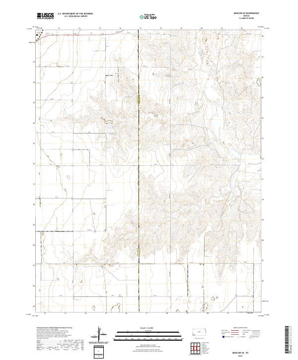
2022 Moscow SE
Seward County, KS
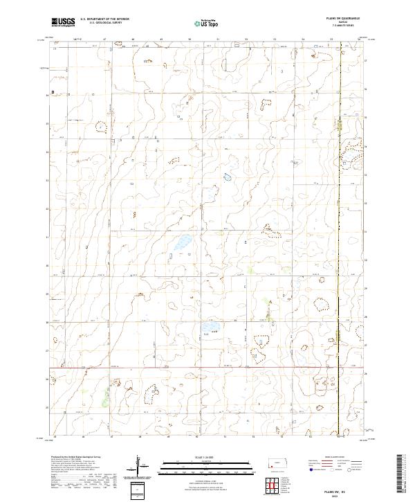
2022 Plains SW
Seward County, KS
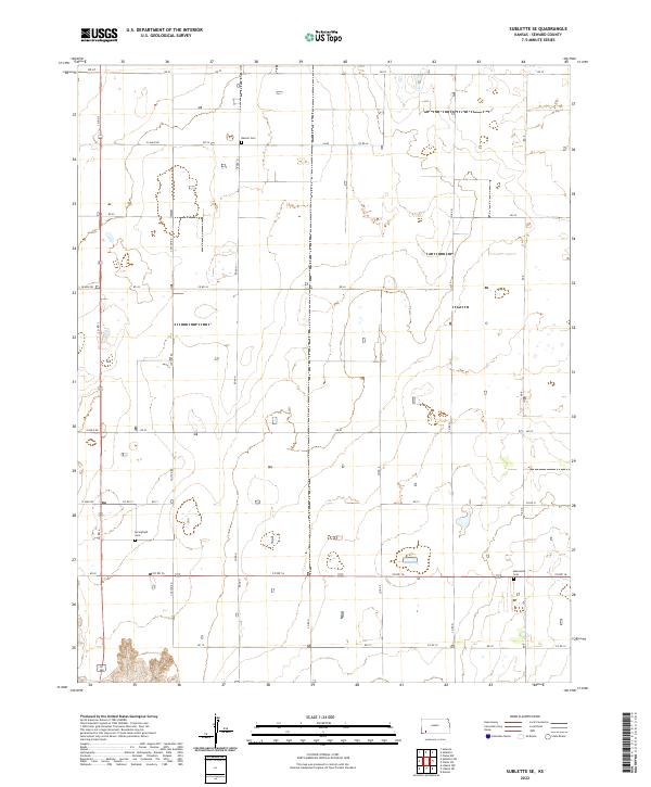
2022 Sublette SE
Seward County, KS
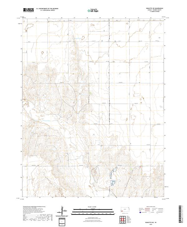
2022 Sublette SW
Seward County, KS
2022 Woods SE
Seward County, KS
2022 Woods
Seward County, KS