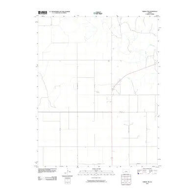
2010 Map of Liberal NW
USGS Topo · Published 2010About this map
The Cimarron River winds through the northeast corner of this high plains landscape in Seward County, providing a stark geographic contrast to the rigid section-line grid that dominates the rest of the terrain. This 2010 survey illustrates the organized rural infrastructure of southwest Kansas, defined by long straight-aways such as 9 Mile Rd and Farmer Rd. The map documents a transition from purely agricultural layouts to rural residential developments, evidenced by named thoroughfares like Country Estates Rd and Bird Rd. Researchers focusing on land use and ownership in the early 21st century can trace the intersection of regional commerce and local transit via the north-south corridors of Co Rd H and Ben Jerman Rd.
Find a feature on this map
9 named features on this map. Tap any name to fly to it.
Don’t see what you’re looking for? This feature index may not catch every label — zoom into the map to look around manually.
Map Details
Editions of this 2010 Liberal NW Map
This is the sole edition of this map. No revisions or reprints were ever made.
Other maps of this area

1944 · Moscow
USGS Topo · 1:62,500

1945 · Moscow
USGS Topo · 1:62,500

1955 · Dodge City
USGS Topo · 1:250,000

1958 · Dodge City
USGS Topo · 1:250,000

1959 · Dodge City
USGS Topo · 1:250,000

1968 · Sublette SW
USGS Topo · 1:24,000

1968 · Liberal NE
USGS Topo · 1:24,000

1968 · Sublette SE
USGS Topo · 1:24,000

1968 · Liberal NW
USGS Topo · 1:24,000

1971 · Liberal
USGS Topo · 1:24,000