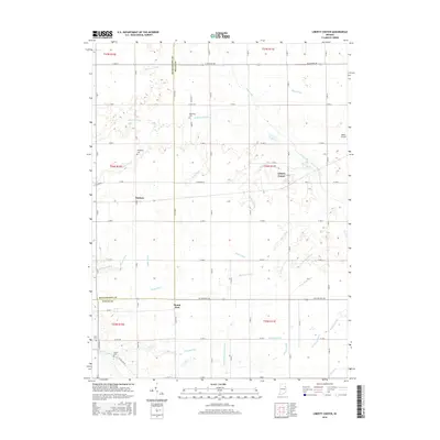
2016 Map of Liberty Center
USGS Topo · Published 2016About this map
The Liberty Center community and surrounding farmsteads define this portion of Wells County, where the landscape is intricately carved by an extensive network of agricultural drainage systems. The map reveals the critical role of water management in this rural Indiana region, shown through dozens of named waterways such as Mossburg Ditch, Wyley Ditch, and Merriman Ditch that feed into Rock Creek. These drainage features, along with the Salamonie River in the southwest corner, dictate the pattern of the local townships.
Find a feature on this map
58 named features on this map. Tap any name to fly to it.
Don’t see what you’re looking for? This feature index may not catch every label — zoom into the map to look around manually.
Map Details
Editions of this 2016 Liberty Center Map
This is the sole edition of this map. No revisions or reprints were ever made.
Other maps of this area

1950 · Warren
USGS Topo · 1:24,000

1952 · Warren
USGS Topo · 1:24,000

1952 · Majenica
USGS Topo · 1:24,000

1953 · Muncie
USGS Topo · 1:250,000

1955 · Markle
USGS Topo · 1:24,000

1956 · Muncie
USGS Topo · 1:250,000

1962 · Uniondale
USGS Topo · 1:24,000

1962 · Montpelier
USGS Topo · 1:24,000

1962 · Liberty Center
USGS Topo · 1:24,000

1962 · Roll
USGS Topo · 1:24,000