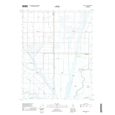
2018 Map of Liberty Island
USGS Topo · Published 2018About this map
Sacramento Valley delta lands define this landscape, where the massive Sacramento River Deep Water Ship Channel cuts a straight path through the alluvial terrain. The geography is a complex network of islands and bypasses, including Liberty Island, Prospect Island, and French Island. These landforms are defined by an intricate system of sloughs and man-made cuts such as Shag Slough, Toe Drain, and Liberty Cut.
Find a feature on this map
45 named features on this map. Tap any name to fly to it.
Don’t see what you’re looking for? This feature index may not catch every label — zoom into the map to look around manually.
Map Details
Editions of this 2018 Liberty Island Map
This is the sole edition of this map. No revisions or reprints were ever made.
Other maps of this area

1907 · Antioch
USGS Topo · 1:62,500

1908 · Vacaville
USGS Topo · 1:62,500

1908 · Courtland
USGS Topo · 1:62,500

1908 · Antioch
USGS Topo · 1:62,500

1910 · Rio Vista
USGS Topo · 1:31,680

1910 · Isleton
USGS Topo · 1:31,680

1916 · Dixon
USGS Topo · 1:31,680

1916 · Cache Slough
USGS Topo · 1:31,680

1916 · Vorden
USGS Topo · 1:31,680

1916 · Maine Prairie
USGS Topo · 1:31,680