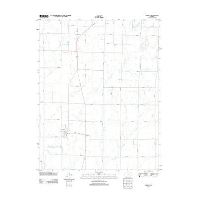
2012 Map of Liberty
USGS Topo · Published 2012About this map
Liberty sits at the heart of this Montgomery County landscape, its grid of streets including N Front St, Cedar St, and N St centered around a local post office. The surrounding terrain is defined by a dense network of waterways, with the Verdigris River cutting across the southern edge and its tributaries—Big Hill Cr, Drum Cr, and Potato Cr—meandering through the agricultural fields. For those researching local family histories, several burial grounds are preserved across the quadrangle, including Harmony Cem to the north, Centennial Cem in the east, and All Saints Cem near the town center. The presence of Liberty Lakes further south suggests a transition in land use near the river's floodplain, while a systematic grid of county roads, such as CR 5100 and CR 4600, provides clear orientation for modern-day navigation of these rural sections.
Find a feature on this map
50 named features on this map. Tap any name to fly to it.
Don’t see what you’re looking for? This feature index may not catch every label — zoom into the map to look around manually.
Map Details
Editions of this 2012 Liberty Map
This is the sole edition of this map. No revisions or reprints were ever made.
Other maps of this area

1886 · Independence
USGS Topo · 1:125,000

1886 · Parsons
USGS Topo · 1:125,000

1893 · Parsons
USGS Topo · 1:125,000

1894 · Independence
USGS Topo · 1:125,000

1905 · Independence
USGS Topo · 1:125,000

1945 · Parsons
USGS Topo · 1:62,500

1946 · Parsons
USGS Topo · 1:62,500

1946 · Mound Valley
USGS Topo · 1:62,500

1947 · Parsons
USGS Topo · 1:62,500

1947 · Joplin
USGS Topo · 1:250,000